Disclosure : This site contains affiliate links to products. We may receive a commission for purchases made through these links.
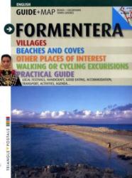
Formentera Guide and Map

Related Products:
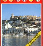
 Pocket Rough Guide Ibiza and Formentera
 Ibiza and Formentera Sunflower Landscape Guide
 My Formentera 2021/22
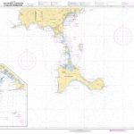
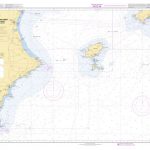
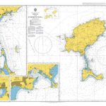 Admiralty Chart 2834 – Ibiza and Formentera
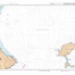
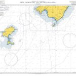 Admiralty Chart 1702 – Ibiza- Formentera and Southern Mallorca
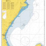
 Admiralty Chart 1700 – Cartagena to Cabo de San Antonio including Isla Formentera
 Admiralty Chart 1701 – Cabo de San Antonio to Villanueva y Geltru including Islas de Ibiza and Formentera
 Ibiza – Formentera F&B
 Ibiza – Formentera
 Ibiza – Formentera Kompass 239
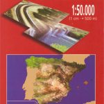 Formentera CNIG Topo 824/825/849
 SHOM Chart 7783 – Isla de Ibiza – Partie Sud et Isla de Formentera
 SHOM Chart 7669 – De Cabo de la Nao au port de Sagunto Isla de Ibiza et Isla de Formentera
 SHOM Chart 7783L – Isla de Ibiza – Partie Sud et Isla de Formentera – Leisure A4 size
 Ibiza – Formentera Editorial Alpina
 SHOM Chart 7669L – De Cabo de la Nao au port de Sagunto Isla de Ibiza et Isla de Formentera – Leisure A4 size
 Mallorca – Ibiza – Menorca – Formentera K+F Road Map
 S`Espalmador 25K Formentera CNIG Topographic Survey Map No. 824-II/825-I
 Formentera Tour & Trail Super-Durable Map
 SHOM Chart 7660 – De Cabo Tiรฑoso ร Cabo Canet – Islas Ibiza, Formentera, Cabrera et Cรดte Sud-Ouest de Mallorca
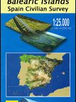
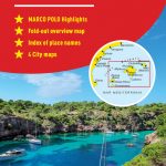 Mallorca – Ibiza – Formentera – Menorca Marco Polo Map
Pilar de la Mola 25K Formentera CNIG Topographic Survey Map No. 825-III/850-I
Sant Francesc de Formentera 25K CNIG Topographic Survey Map No. 824-IV/849-II
Mallorca – Ibiza – Formentera – Menorca Marco Polo Map
Pilar de la Mola 25K Formentera CNIG Topographic Survey Map No. 825-III/850-I
Sant Francesc de Formentera 25K CNIG Topographic Survey Map No. 824-IV/849-II
 SHOM Chart 7660L – De Cabo Tiรฑoso ร Cabo Canet – Islas Ibiza, Formentera, Cabrera et Cรดte Sud-Ouest de Mallorca – Leisure A4 size
 Insight Guides City Guide Beijing (Travel Guide with Free eBook)
 The Rough Guide to Provence & the Cote d`Azur (Travel Guide with Free eBook)
 Pocket Rough Guide New York City: (Travel Guide with free eBook)
 The Rough Guide to the Scottish Highlands & Islands (Travel Guide with Free eBook)
 The Rough Guide to Bath, Bristol & Somerset (Travel Guide with Free eBook)
 Pocket Rough Guide Malta & Gozo (Travel Guide with Free eBook)
 The Rough Guide to Southeast Asia on a Budget (Travel Guide with Free eBook)
 Pocket Rough Guide Staycations Cotswolds (Travel Guide with Free eBook)
 Pocket Rough Guide Staycations Jersey (Travel Guide with Free eBook)
 Insight Guides City Guide Tokyo (Travel Guide with Free eBook)
 Pantanal – A Visitor`s Guide to Brazil`s Great Wetland Wildlife Bradt Guide
 Berlitz Pocket Guide Copenhagen (Travel Guide with Free Dictionary)
 Pocket Rough Guide Rome: (Travel Guide with free eBook)
 Pocket Rough Guide Barcelona: (Travel Guide with free eBook)
 The Rough Guide to Brittany & Normandy (Travel Guide with Free eBook)
 Pocket Rough Guide Copenhagen (Travel Guide with Free eBook) 1/5/20