Disclosure : This site contains affiliate links to products. We may receive a commission for purchases made through these links.
Florida Keys ITMB
Florida Keys at 1:120,000 on a double-sided, indexed map from ITMB with several insets showing most visited resorts, islands and/or nature reserves in greater detail. Numerous small islands are named.On one side are the Upper Keys, from the mainland to the Seven Mile Bridge, accompanied by insets showing at 1:35,000 plans of Key Largo, the Grayvik area, Upper Matecumbe Key ‘“ Plantation Key, Lower Matecumbe, Layton, Grassy Key ‘“ Duck Key, and Vaca Key ‘“ Key Colony beach.On the reverse a map of the Lower Keys has enlargement panels with Bahai Honda Key, Big Pine Key with the nearby islands, Cudjoe Keys ‘“ Summerland Keys, Perky ‘“ Sugerloaf Sound, Bay Point, Boca Chica Key, and Key West. Two more panel cover locations within the Gulf of Mexico: the Dry Tortugas with an enlargement for the Fort Jefferson, plus the Marquesas Keys.All the maps are annotated to show numerous tourist facilities, including selected accommodation, beaches, fuel supply points, etc. Areas which are national/state parks or nature reserves are highlighted, and all the panels have latitude and longitude margin ticks.

Related Products:
 Florida Keys Adventure & Dive Map-Guide
 Maptech Waterproof Chartbook Florida Keys 1st Edition
 Miami and the Keys Traveler Guide
 Fodor`s South Florida: With Miami, Fort Lauderdale, and the Keys
 Reg 8.3 Florida Southeast, Lake Worth to Plantation Key
 Waterway Guide Florida Keys – 3rd Edition
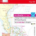 Reg 8.4 Florida South, Plantation Key to Key West
 Moon South Florida & the Keys Road Trip (First Edition): With Miami, Walt Disney World, Tampa & the Everglades
 NOAA Chart 11442 – Florida Keys’”Sombrero Key to Sand Key
 Miami & South Florida ITMB
 Florida & US Deep South ITMB
New Zealand ITMB
Florida & US Deep South ITMB
New Zealand ITMB
 Orlando & Central Florida ITMB
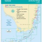
 NOAA Chart 11434 – Florida Keys’”Sombrero Key to Dry Tortugas
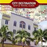 Miami & the Keys NGS City Destination Map
 NOAA Chart 11452 – Florida Keys’”Alligator Reef to Sombrero Key
 Bahamas ITMB
 Florida ITMB
 Caribbean Islands Western Half ITMB Travel Atlas
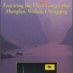 Yangzi River Odyssey Map
 DK Eyewitness Top 10 Miami and the Keys
 Lonely Planet Miami and the Keys City Guide
 Latvia & Riga ITMB
 Fiji & Tonga ITMB
 California ITMB
 Guatemala ITMB
 Accra & Ghana South ITMB
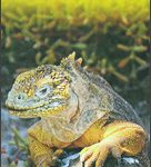 Galapagos Islands – Quito & Guayaquil ITMB
 Java ITMB
 Show Off Keys Man Cave
 Antigua & Dominica ITMB
 Virgin Islands (US and British) ITMB
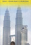 Malaysia ITMB
 Cayman Islands & Jamaica ITMB
 Show Off Keys Adrenaline Junkie
 Show Off Keys Reality TV Star
 Southern Vietnam – Mekong Delta ITMB
 Japan ITMB
 Vietnam ITMB
 Jersey & Guernsey ITMB