Disclosure : This site contains affiliate links to products. We may receive a commission for purchases made through these links.
Flinders Ranges SA Hema
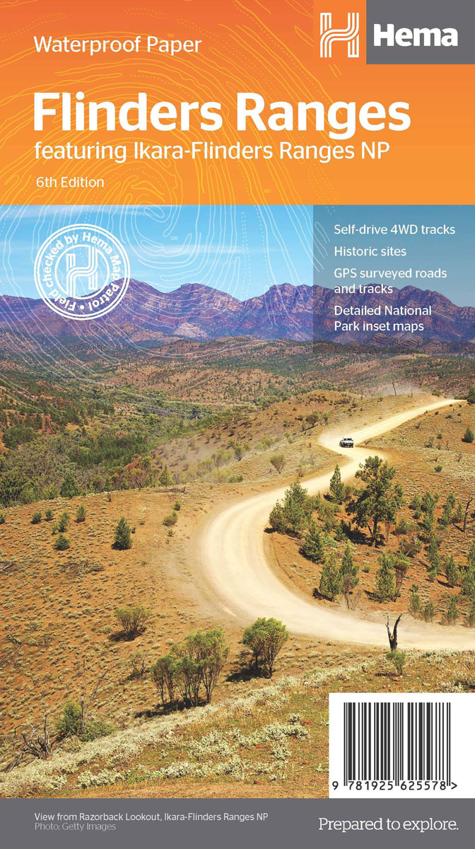
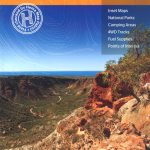
Flinders Ranges in South Australia on a waterproof and tear-resistant map at 1:400,000 from Hema showing locations with tourist accommodation and other facilities, plus on the reverse enlargements of the three most visited areas, a table of facilities in national parks, etc.On one side a map at 1:400,000 covers the Flinders Ranges, including Gammon Ranges and Mount Remarkable. Topography is shown by relief shading, with colours and graphics indicating various types of terrain and highlighting national parks, protected areas, aboriginal lands, etc. A special feature of Hema’s mapping of the Outback is the presentation of roads and tracks, distinguishing between those plotted by the publishers themselves and others taken from the country’s topographic survey data. A wide range of symbols highlight various facilities including accommodation, campsites, different types of fuel supplies, general stores and meals, medical facilities, etc, many shown with opening hours and/or phone numbers. Latitude and longitude lines are drawn at 15’ intervals. An index of localities is next to the map. On the reverse there are enlargements fshowing in greater detail the three main national parks in the area: Mt Remarkable NP at 1:125,000, Gammon Ranges NP at 1:250,000 and Flinders Ranges NP at 1:200,000, indicating main hiking tracks, ranger stations and tourist facilities. The map also provides descriptions of principal places of interest, a table of facilities in all the national parks, and lists of useful contact addresses.To see other titles in Hema’s series of regional maps of Australia please click on the series grid.


