Disclosure : This site contains affiliate links to products. We may receive a commission for purchases made through these links.
Disclosure : This site contains affiliate links to products. We may receive a commission for purchases made through these links.
Categories
-
Best Sellers
-

Dartmouth – Dittisham & Coast to Brixham Walking Map 26
Dartmouth – Dittisham & Coast to Brixham Walking Map at 1:12,500 from Croydecycle covering River Dart’s estuary; handy size, double-sided, contoured, printed on light waterproof and Read More » -

TRAVEL JOURNAL lONDON
A beautiful journal for travelers with an adventurous spirit. London calling! From a royal crown, to the instantly recognizable phone kiosks, to a very British teapot Read More » -
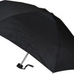
Everyday Folding Super Mini Black Umbrella
Canopy made from Polyester. Rubberised handle, manual opening with 6 fibreglass and metal ribs Read More » -

The Antlered Ship
An inquisitive fox sets off on a seafaring voyage with a crew of deer and pigeons in this enchanting tale of friendship and adventure. Marco the Read More » -

Troyes – Lusigny-sur-Barse IGN 25K Sรฉrie Bleue Map 2817SB
Topographic survey of France at 1:25,000 in IGN`s excellent TOP25 / Sรฉrie Bleue series. All the maps are GPS compatible, with a 1km UTM grid plus Read More » -
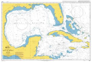
Admiralty Chart 4401 – Gulf of Mexico
NEW EDITION OUT ON 24/09/2020Admiralty standard nautical charts comply with Safety of Life at Sea (SOLAS) regulations and are ideal for professional, commercial and recreational use. Read More » -

Zambia Bradt Guide
Bradt`s Zambia guidebook offers background information, history, culture and natural history as well as practical guidance, including in-depth reviews of lodges, hotels and campsites. Whilst providing Read More » -

New Zealand`s Northland Coast: Whangarei to Cape Reinga and Three Kings Islands
This third Edition of New Zealand`s Northland Coast has been updated (2016) and provides full colour reproductions of large scale charts for the region Northland to Read More » -
G36 Marmaris to Kekova Adasi
Imray’s series of charts of Greece and Turkey are comprehensive and easy-to-use sailing charts published on rip-proof, waterproof paper- ideal for use on small tables or Read More » -

Ulm – Neu-Ulm Extra
Falk, one of Germany`s leading publishers of street plans, produce their town plans in two different formats. Falk Extra plans are folded in a standard way, Read More »
-


