Disclosure : This site contains affiliate links to products. We may receive a commission for purchases made through these links.
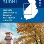
Finland North Karttakeskus Road Map

Northern Finland at 1:400,000 on a double-sided road map from Karttakeskus, the country’s national survey organization, with both topographic and extensive tourist information, including hotels, campsites, youth hostels, etc. Coverage starts just north of Oulu.Maps in this series have detailed road classification, from dual carriageways to unsurfaced tracks and privately maintained roads, and indicate the widths of the single carriageway roads. Service and petrol stations are marked, and driving distances are shown on main and secondary routes. Railways are shown with stations and ferry routes are marked, as well as internal administrative boundaries and restricted access areas. The maps also include selected hiking routes and snowmobile tracks.Topography is shown by contours at 20m intervals with spot heights, plus colouring and/or graphics indicate fields, woods, and marshes. Boundaries of national parks, conservation areas and nature reserves are shown. Tourist information includes various types of accommodation (hotels, motels, youth hostels, campsites), sport and leisure centres, information offices, museums and places of interest, etc. The maps have both UTM and latitude/longitude grids. Map legend includes English.To see the other titles in this series please click on the series link.

Related Products:
 Finland East Karttakeskus Road Map
Finland South Karttakeskus Road Map
Finland East Karttakeskus Road Map
Finland South Karttakeskus Road Map
 Finland West Karttakeskus Road Map
Finland: Karttakeskus 250/400K GT Road Maps
Finland West Karttakeskus Road Map
Finland: Karttakeskus 250/400K GT Road Maps
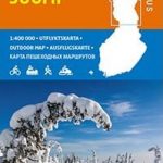 Finland North Karttakeskus Outdoor Road Map
 Finland West Karttakeskus Outdoor Road Map
 Finland East Karttakeskus Outdoor Road Map
 Finland Karttakeskus Road Atlas
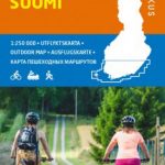 Finland South Karttakeskus Outdoor Road Map
 Finland Road Atlas GLOVEBOX, SPIRAL-BOUND
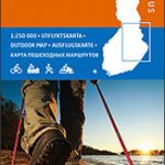
 Finland: Karttakeskus 250K/400K Outdoor Maps
 Finland Karttakeskus Motorbikers Road Atlas A5 SPIRAL-BOUND
 Sweden: Norstedts Regional Road Maps
 Southern Norway North – Oslo – Bergen – Rondvassbu – Galdhopiggen Cappelen Sectional Road Map
 Norway: Norstedts Regional Road Maps
 Karelia Karttakeskus Road Map
 Stockholm County Norstedts Road Map
 Finland K+F Road Map
 Central and North Norway: Bodรธ – Lofoten
 North Norway: Narvik – Tromsรธ ‘“ Hammerfest – Vadsรธ
 Sweden F&B Road Atlas
 Finland Hallwag Road Map
Norway: Cappelen Regional Road Maps
Poland: Carta Blanca/Kompas Road Atlas 2015 GLOVEBOX, SPIRAL-BOUND
Finland Hallwag Road Map
Norway: Cappelen Regional Road Maps
Poland: Carta Blanca/Kompas Road Atlas 2015 GLOVEBOX, SPIRAL-BOUND
 Croatia – Slovenia F&B Road Atlas
 Southern Norway North: Sognefjorden – Jotunheimen NP – Rondane NP – Trondheim
Belarus Road Atlas
Southern Norway North: Sognefjorden – Jotunheimen NP – Rondane NP – Trondheim
Belarus Road Atlas
 Bavaria North – Saxony – Thuringia K+F Regional Road Map
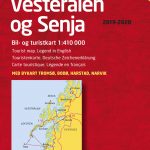 Lofoten – Vesteralen Islands – Senja Cappelen Sectional Road Map
 North Sea Coast – Bremen – Hamburg K+F Regional Road Map
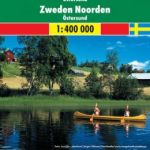 Sweden North – Ostersund F&B
Germany Marco Polo Road Atlas 2021/2022
Sweden North – Ostersund F&B
Germany Marco Polo Road Atlas 2021/2022
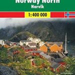 Norway North – Narvik F&B
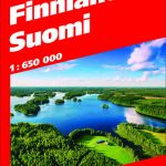
 Finland Karttakeskus Travel Map + Guide
 Troms and Finnmark – Tromso – Hammerfest – Kirkenes Cappelen Sectional Road Map
 Italy North K+F Road Map
 More and Troodelag – Alesund – Trondheim – Namsos Cappelen Sectional Road Map
 North Rhine-Westphalia – Cologne – Ruhr Area K+F Regional Road Map
 Cap of the North / Nordkalotten Norstedts Road Map
 Sweden: Freytag & Berndt Regional Road Maps