Disclosure : This site contains affiliate links to products. We may receive a commission for purchases made through these links.
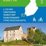
Finland Karttakeskus Travel Map + Guide
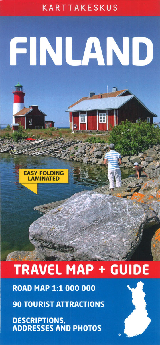
Finland at 1:1,000,000 on a waterproof and tear-resistant, double-sided map from Karttakeskus, Finland’s national survey organization, with English language descriptions of 90 locations highlighted on the map. Where appropriate, Swedish and in Lapland Sami place names are included.The country is divided north/south with a tiny overlap between the sides. Topography is indicated by altitude colouring Road network is shown with driving distances on main routes but PLEASE NOTE that the maps shows fewer small local roads and considerably fewer villages than on the publishers’ coverage of Finland at 1:800,000. Railway lines are included and local airports are marked. 90 tourist attractions are highlighted on the map and cross-referenced to descriptions, may illustrated with colour photos. Latitude and longitude lines are drawn at 30’ and 1ยฐ respectively. Map legebd and all the text is in English.The map is laminated in a format similar to the old cloth-dissected maps so that sections of it can be easily folded back without damage, and can be annotated with write-on/wipe-off marker pens.

Related Products:
 Finland Karttakeskus Road Atlas
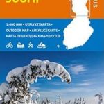 Finland North Karttakeskus Outdoor Road Map
 Finland East Karttakeskus Outdoor Road Map
 Finland West Karttakeskus Outdoor Road Map
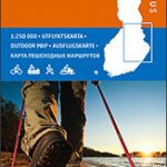
 Finland: Karttakeskus 250K/400K Outdoor Maps
 Finland South Karttakeskus Outdoor Road Map
 Finland Karttakeskus Motorbikers Road Atlas A5 SPIRAL-BOUND
 Finland East Karttakeskus Road Map
Finland North Karttakeskus Road Map
Finland East Karttakeskus Road Map
Finland North Karttakeskus Road Map
 Finland West Karttakeskus Road Map
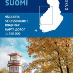
Finland South Karttakeskus Road Map
Finland: Karttakeskus 250/400K GT Road Maps
Finland West Karttakeskus Road Map
Finland South Karttakeskus Road Map
Finland: Karttakeskus 250/400K GT Road Maps
 Finland ITMB
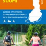
 Finland: Karttakeskus Topographic Hiking Maps
 Insight Guides Finland (Travel Guide with Free eBook)
 Finland Road Atlas GLOVEBOX, SPIRAL-BOUND
 Scandinavia & Finland Michelin
 Philippines Odyssey Map
 Finland South
 Finland: Karttakeskus Water Touring Maps
 Finland Hallwag Road Map
 Buenos Aires de Dios Map-Guide
 Finland Michelin
 Finland and Northern Scandinavia NGS Adventure Map 3300
 Helsinki City Map & Guide
 Namibia 3in1 Flash Guide
 Karelia Karttakeskus Road Map
 Bolivia de Dios Map-Guide
 Chile de Dios Map-Guide
 Peru de Dios Map-Guide
 Finland F&B
 Indonesia Periplus Travel Map
 Finland & Sweden ITMB
 Hiking in Finland – Day Trips and Backpacking Expeditions
 Helsinki & Southern Finland ITMB
 France: IGN 150K Departmental Road Maps
 Goa Tourist Map/Guide
 Danube Bend Cycle Atlas & Guide
 South America de Dios Map-Guide