Disclosure : This site contains affiliate links to products. We may receive a commission for purchases made through these links.
Europe Western F&B
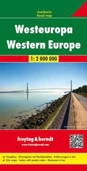
Western Europe at 1:2,000,000 from Freytag & Berndt, with coverage extending from the British Isles to Denmark, the western half of Germany, Switzerland and north-western Italy, with street plans of nine capitals in an index booklet.Relief shading shows the topography and names of many mountain ranges, particularly within the Alpine areas, are indicated. The map shows road and rail network at the level appropriate to its scale, clearly indicating on main routes their road numbers, including where appropriate the E-numbers. Also marked are ferry connections, local airports, and within larger countries internal administrative boundaries. Latitude/longitude grid is drawn at intervals of 1ยบ. Map legend includes English. The index, arranged by country and for all except GB showing postcodes, is in a separate booklet attached to the map cover. The booklet also includes street plans of city centres in Amsterdam, Bern, Brussels, Copenhagen, Dublin, Lisbon, London, Luxembourg City and Madrid.

Related Products:
 Northern Europe – Scandinavia F&B
 Europe Central F&B
 Europe Eastern F&B
 Belarus F&B
 Middle East F&B
 Western Europe AA Road Map
 Balkans – South-East Europe F&B
 Spain – Portugal F&B
 Europe Borch
 Germany East F&B
 Germany Administrative F&B Wall Map
 North Macedonia F&B Top 10 Tips
 Nigeria Road Map – City Guide
 Ukraine – Moldova F&B
 Salzburg F&B Street Plan
 Osaka & Western Japan ITMB
 South Africa F&B
 Europe Political F&B
 China – Mongolia – Taiwan F&B
 Western Australia Hema
 Central Asia F&B
 Oman & Yemen ITMB
 Morocco IGN 85108
 Caribbean Islands Western Half ITMB Travel Atlas
 Cuba Nelles
 Germany West F&B
 South-Western Nicaragua – Masaya – Granada
 South Western Bohemia
 Benelux F&B
 Peru Mapa Vial
 Western Canada MapArt
 Western USA – South Western Canada Michelin Regional 585
 Sweden F&B
 Java – Jakarta Nelles
 Guyana, Suriname & French Guiana ITMB
 Transylvania F&B
 Western & Northern Canada ITMB Travel Atlas
 Yemen F&B
 Lithuania Jana Seta Road Atlas HARDBACK
 Albania ITMB