Disclosure : This site contains affiliate links to products. We may receive a commission for purchases made through these links.
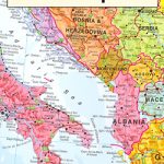
Europe Schofield & Simms Political Wall Map
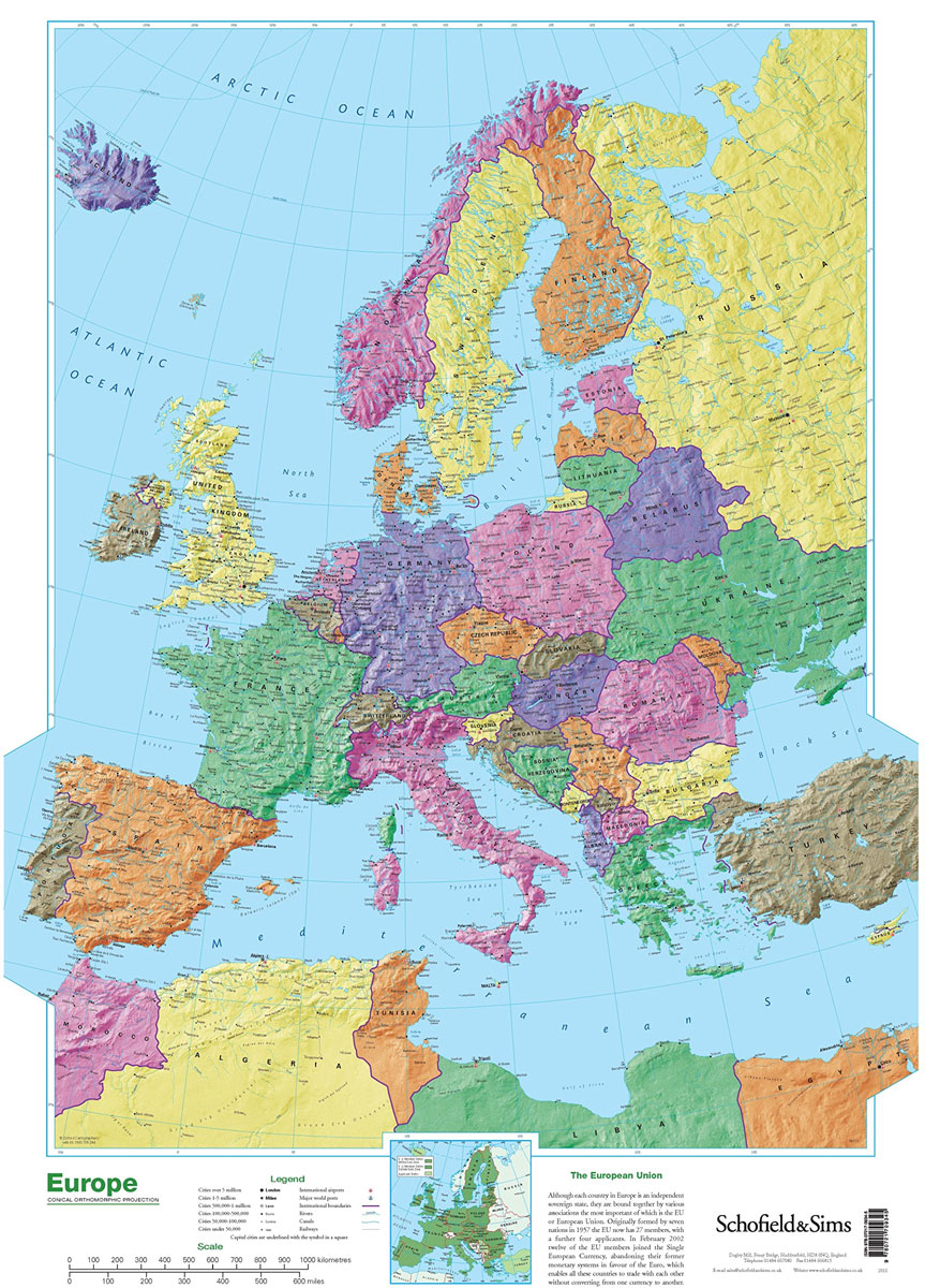
Attractive 53x77cm political wallmap of Europe. Coverage extends to Iceland, Moscow, Cyprus and Africa`s Mediterranean coast. Detail includes large towns, cities, major railways, rivers, canals, airports and ports. Cities are classified by symbols according to population size and capitals cities are distinguished. Hill shading gives an impression of the general relief.Latitude and longitude lines are drawn at 5ยฐ intervals.A small inset map shows EU member states.

Related Products:
 Canada Relief Wall Map
 World Schofield & Sims Political Wall Map
 Europe Eastern Jana Seta Road Map
 Middle East: Maps International Political Wall Map
 USA Michelin Political Wall Map PAPER
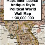 World Maps International Antique Political Wall Map
 Europe Michelin Political Wall Map ENCAPSULATED
 Europe IGN Political Wall Map
 Europe Maps International Political Wall Map PAPER LARGE
 Europe Maps International Political Wall Map X-LARGE PAPER
 USA Michelin Political Wall Map ENCAPSULATED
 Europe K+F Political Wall Map LAMINATED
 Europe: Maps International Political Wall Map LARGE, HANGING STRIPS
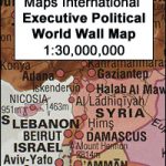 World Maps International Executive Political Wall Map
 Europe Maps International Political Wall Map X-LARGE ENCAPSULATED
Europe Maps International Political Wall Map LARGE ENCAPSULATED
Europe Maps International Political Wall Map X-LARGE ENCAPSULATED
Europe Maps International Political Wall Map LARGE ENCAPSULATED
 The Americas NGS Classic Wall Map PAPER
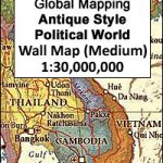
 South East Asia Global Mapping Political Wall Map PAPER
 World Marco Polo Political Wall Map
 World Political – Sea Relief F&B Wall Map LAMINATED
 Europe K+F Physical Wall Map LAMINATED
 India Gizi Road Map
 North America: Kรผmmerly + Frey Political Wall Map
 World F&B Political Wall Map LARGE
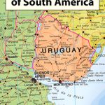
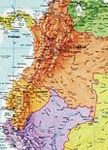 South America Maps International Political Wall Map PAPER
 World F&B Political – Sea Relief Wall Map XXL LAMINATED
 China Administrative Wall Map
 United Kingdom & Ireland Schofield & Sims Wall Map
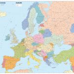
 Europe: Maps International Political Wall Maps
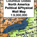 North America Columbus double-sided Political / Physical Wall Map
 World Political/Physical – Sea Relief F&B Wall Map LAMINATED with Metal Hanging Strips
 World F&B Political Wall Map MEDIUM
 World Global Mapping Antique Political Wall Map LARGE PAPER
 South America Global Mapping Political Wall Map PAPER
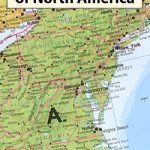 North America: Maps International Political Wall Map PAPER
 Europe Children`s Placemat
 South America: Maps International Political Wall Map HANGING STRIPS
 World Maps International Glow in the Dark Wall Map