Disclosure : This site contains affiliate links to products. We may receive a commission for purchases made through these links.
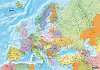
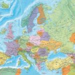
Europe Political F&B Wall Map ENGLISH

Related Products:
 Europe Political F&B Wall Map ENGLISH – with Metal Hanging Strips
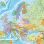
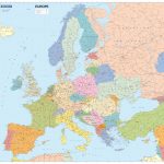
 Europe Political F&B Wall Map
 Europe Political F&B Wall Map GERMAN
 Europe Political F&B Wall Map GERMAN – with Metal Hanging Strips
 Europe IGN Political Wall Map
 Europe K+F Political Wall Map LAMINATED
 Europe Schofield & Simms Political Wall Map
 Europe XYZ Maps Political Wall Map PAPER
 Europe Michelin Political Wall Map ENCAPSULATED
 Europe Maps International Political Wall Map X-LARGE PAPER
 Europe Maps International Political Wall Map PAPER LARGE
 Europe Maps International Political Wall Map X-LARGE ENCAPSULATED
Europe Maps International Political Wall Map LARGE ENCAPSULATED
Europe Maps International Political Wall Map X-LARGE ENCAPSULATED
Europe Maps International Political Wall Map LARGE ENCAPSULATED
 Europe: Maps International Political Wall Map LARGE, HANGING STRIPS
 Europe: Maps International Political Wall Maps
 Europe Political F&B
 Europe K+F Political Map
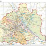 Vienna F&B Political A3 Wall Map
 World F&B Political Wall Map MEDIUM GERMAN
World F&B Political Wall Map MEDIUM – with Metal Hanging Strips GERMAN
Europe Western F&B Wall Map
Europe Central F&B Wall Map
World F&B Political Wall Map MEDIUM GERMAN
World F&B Political Wall Map MEDIUM – with Metal Hanging Strips GERMAN
Europe Western F&B Wall Map
Europe Central F&B Wall Map
 Kazakhstan Political Wall Map
 From Amourette to Zal: Bizarre and Beautiful Words from Europe: (For When English Just Won`t Do)
 World Political ITMB Wall Map
 Australasia Political Wall Map: PAPER
Australasia Political Wall Map: ENCAPSULATED
Australasia Political Wall Map: PAPER
Australasia Political Wall Map: ENCAPSULATED
 USA Michelin Political Wall Map PAPER
 USA Michelin Political Wall Map ENCAPSULATED
 Switzerland K+F Political Wall Map LAMINATED
 World K+F Political 30M Wall Map LAMINATED
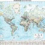
 World F&B Political Wall Map MEDIUM
 World F&B Political Wall Map LARGE
 World Political Wall Map ENCAPSULATED
 Europe Cycle Route Iron Curtain 4 – Hof to Szeged ENGLISH
 World Antique Political ITMB Wall Map
NGS Executive Political World Wall Map FRAMED
World Antique Political ITMB Wall Map
NGS Executive Political World Wall Map FRAMED
 World K+F Political 30M Wall Map MEDIUM PIN-BOARD