Disclosure : This site contains affiliate links to products. We may receive a commission for purchases made through these links.
Europe Political F&B

Detailed political road map of Europe, ideal for route-planning.Main roads such as motorways, dual-carriageways and highways are shown, as are some minor roads. National boundaries are clearly marked, with railways, airports, ferry routes all clearly marked. Intermediate driving distances between locations are shown in kilometres alongside the road, as are road numbers. A grid divides the map at 2.5ยฐ increments, and is also grid-referenced for the accompanying index booklet.*Multilingual map legend includes English.*

Related Products:
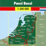 Netherlands F&B
 South Tyrol – Trentino – Lake Garda – Veneto F&B
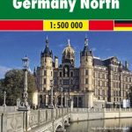 Germany North F&B
 France North F&B
 Pyrenees F&B
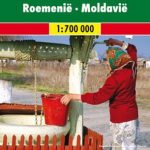 Romania – Moldova F&B
 Germany South F&B
 France South F&B
 Czech – Slovak Republics F&B
 Bali – Lombok – Komodo F&B
 Slovenia – Croatia – Serbia – Bosnia-Herzegovina – Macedonia – Kosovo – Montenegro F&B
 Venezuela F&B
 Greece 700K F&B
 Vietnam – Laos – Cambodia F&B
 Russia – C. I. S. F&B
 Alaska F&B
 Europe Hallwag Road Map
 Europe Eastern F&B
 Montenegro F&B
 Denmark F&B Top 10 Tips 2-Map Set
 Baltic States Michelin
 Europe Central F&B
 Portugal F&B
 Ukraine South
 Czechia Michelin
 Europe Western F&B
 Czechia – Slovakia Michelin
 Northern Europe – Scandinavia F&B
 Finland Michelin
 Poland Michelin
 Czechia – Slovakia Michelin SUPERCEDED
 Lower Saxony – Bremen – Hamburg Marco Polo Regional Map 3
 Madeira F&B
 Istria – Pula F&B Top 10 Tips
 India Political
 Austria Michelin
 Greece Anavasi Road Map
 Sweden Michelin
 Bavaria South Marco Polo Regional Map 13