Disclosure : This site contains affiliate links to products. We may receive a commission for purchases made through these links.
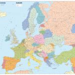
Europe K+F Physical Map
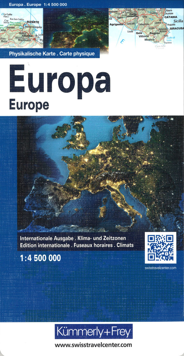
Europe’s network of roads, railways and ferry connections presented by Kรผmmerly + Frey on a map at 1:4,500,000 in a physical version with relief shading to show mountain ranges and the surrounding seas in light blue.Names of countries, cities and geographical features are in their original versions, so: Magyarorszรกg, Shqipรซria and Ellada; Moskva, Wien and Warszawa; Carpatii Orientali, Egรฉo Pรฉlagos and Bottniska Viken. Main seas have trilingual names: Baltic Sea ‘“ Mer Baltique ‘“ Ostsee.Coverage includes the whole of Scandinavia and Iceland, extending south to include the Mediterranean coast of Africa and east just beyond the Urals and to the Caspian Sea and the Aral Sea. Latitude and longitude lines are drawn at 4ยฐ intervals. Multilingual map legend includes English.The map cover provides a time zones map of the world, plus climate information for six locations in Europe: Narvik, Copenhagen, Zurich, Kiev, Rome and Lisbon.The same information is also available as:* An identical wall map.* A map with a political rather than a physical base, showing countries in different colours, available either as a wall map or folded.* The political version enlarged to 1:3,600,000, with larger easier to read print, driving distances on main routes and country names expressed by their number plate codes (H, AL, GR). This version, Europe Long-distance Traffic Routes, extends less far in the east and south and is available folded only.

Related Products:
 Europe K+F Political Wall Map LAMINATED
 Europe K+F Physical Wall Map LAMINATED
 Europe K+F Long-Distance Routes Map
 Europe K+F Political Map
 Europe Physical F&B
 World K+F Physical 30M Wall Map MEDIUM MAGNETIC-BOARD
 Europe IGN Political Wall Map
 World K+F Physical 20M Wall Map LAMINATED
 Australia Columbus Globes Political / Physical Wall Map
 Europe – Middle East – Central Asia Freytag & Berndt Wall Map
 World Political/Physical – Sea Relief F&B Wall Map LAMINATED with Metal Hanging Strips
 World IGN Physical 14M Wall Map PLASTIC 3-Sheet Set
 North America Columbus double-sided Political / Physical Wall Map
 Europe Michelin Political Wall Map ENCAPSULATED
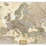
 Europe NGS Classic Wall Map LARGE PAPER
 Europe AA Route Planner
 Europe: Future Map Company Wall Map, Version 001 gold – khaki – yellow – sage PAPER
 Europe: Future Map Company Wall Map, Version 02 lemon – orange – thistle – khaki PAPER
 World K+F Political 30M Map
 Europe NGS Classic Wall Map PAPER
 World F&B Physical – Sea Relief Wall Map
 Balkans – South-East Europe F&B
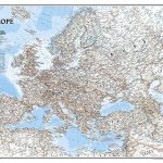
 Europe NGS Executive Wall Map PAPER
 Europe – Middle East – Central Asia F&B
 Europe NGS Executive Wall Map LARGE PAPER
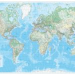 World K+F Physical 30M Wall Map LAMINATED
 Europe Maps International Political Wall Map PAPER LARGE
 World Down Under Political – Physical Map UBD Gregory`s
 Europe Maps International Political Wall Map X-LARGE PAPER
 Europe: Maps International Political Wall Map LARGE, HANGING STRIPS
 Middle East: Maps International Political Wall Map
 World F&B Political Wall Map LARGE
 World 3 Global Views Raven Maps Physical Wall Map
 Europe NGS Executive Wall Map ENCAPSULATED
 Mediterranean Countries NGS Classic Wall Map PAPER
 South East Asia Global Mapping Political Wall Map PAPER
 Europe NGS Classic Wall Map ENCAPSULATED
 Europe NGS Classic Wall Map LARGE ENCAPSULATED