Disclosure : This site contains affiliate links to products. We may receive a commission for purchases made through these links.
Europe: Cruchley`s New Map of Europe c.1860 SMALL
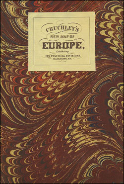
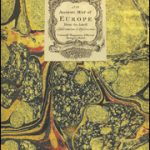
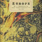
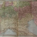
Small size version of a cloth-backed reproduction by Old Folding Maps of ‘A New Map of Europe, exhibiting its political divisions, railroads, etc”, published by George Frederick Cruchley around 1860. Stretching from the Atlantic to the Urals and showing individual states in different colours the map is dominated by the vast expanses of Russia, with most of the present day Poland and Finland within its empire, Austria-Hungary and the European part of the Ottoman Turkey; Germany and Italy are still on their way to be unified. Hachures show the main mountain ranges and railway lines are included – already criss-crossing Britain but still to come in many other regions, in Spain just Madrid to Alicante or in Russia only between Moscow and St. Petersburg. An interesting feature is the presentation of the linear scale – separately in English miles and leagues, but also in French and Spanish leagues, plus in German, Prussian, Italian and Turkish miles.This reproduction was taken from what used to be called a ‘cloth-dissected” map, made when the map itself was cut into sections and each section then individually pasted onto an overall cloth backing for the whole map. In this version the whole map is backed onto cloth in one piece but the gaps between the sections have been reproduced in the printing to preserve the style and the feeling of the original. Each individual cloth-backed map is sold folded in a colourful case covered with a unique design marbled paper ‘“ no two cases are identical.PLEASE NOTE: this title is also available in a larger size. To see the list of all the titles in this series from the Old Folding Maps please click on the series link.


