Disclosure : This site contains affiliate links to products. We may receive a commission for purchases made through these links.
Europe Borch

Europe on an indexed road map from Borch at 1:4,000,000, with large street plans of central London, Paris and Rome highlighting these cities’ 15 outstanding sights. Laminated and waterproof, the map can be annotated with suitable markers without damaging its surface.On one side is a road map of Europe at 1:4,000,000 extending north to Oslo/Stockholm/Tallinn and east to Moscow/Odessa/Istanbul. The map shows the Continent’s network of motorways for long-distance route planning, with the connecting national and other main roads. Road numbering gives both the pan-European E route numbers, and the national road numbers. National boundaries are marked, with relief shading showing main geographical features such as mountain chains, plains, etc. The map has latitude lines at intervals of 1ยฐ, with longitude at 2ยฐ. The index is arranged by country.On the reverse a map at 1:5,000,000 shows the Scandinavian countries, extending east to St. Petersburg. Three further large insets provide street plans of central London, Paris and Rome, each clearly showing places of interest, with 15 main sights prominently highlighted. Each city also has a road map of its environs showing road and rail access to its principal airports.

Related Products:
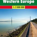 Europe Western F&B
 Beijing Borch
 Florence Borch
 Europe Travellers` Railway Map
 Sydney Borch
 Europe F&B Compact Road Atlas
 Europe Central F&B
 Venice Borch
 Northern Europe – Scandinavia F&B
 Istanbul Borch
 Rome Borch
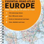
 Europe Collins Essential Road Atlas 2021 A4 SPIRAL-BOUND
 Philadelphia Borch
 Tuscany Borch
 Cuba Borch
 Hamburg Borch
 Madrid Borch
 Paris Borch
 Tokyo Borch
 India North Borch
 Europe Eastern F&B
 Europe AA Route Planner
 St Petersburg Borch
 Singapore Borch
 Europe Collins Road Map 2021
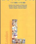 London Borch
 Europe Collins Essential Road Atlas A4 SPIRAL-BOUND
 Crete Borch
 Berlin Borch
 Central Europe F&B Road Atlas
 Europe Hallwag Road Map
 Amsterdam Borch
 Europe Collins Map Road
 Peru Borch
 Frankfurt am Main Borch
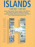 Hawaiian Islands Borch
 Bangkok Borch
 Lisbon Borch