Disclosure : This site contains affiliate links to products. We may receive a commission for purchases made through these links.
Estonia West Regio Map
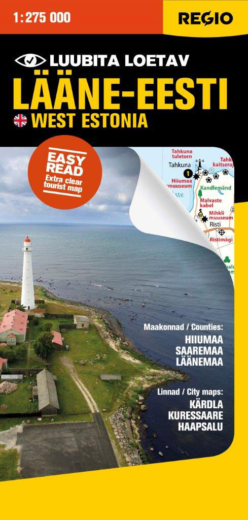
Western Estonia, including the islands of Saaremaa, Hiiumaa and Muhu, at 1:275,000 on a map from Regio, with prominent highlighting of protected areas and places of interest including 15 recommended top sights, plus on the reverse city maps of Kuressaare, Haapsalu and Kรคrdla, also a distance table for the whole country.Maps in this series present the road network on a clear base which highlights protected areas. Locations of petrol stations are shown but driving distances are not marked. A wide range of symbols indicates various places of interest including historical sites, interesting buildings or trees, beaches, scenic views, etc, with 15 recommended locations cross-referenced to the list of their names on the reverse. The maps have latitude and longitude lines at 20’ and 30’ respectively. On the reverse street plans, also annotated with sights and facilities, show principal traffic arteries and main streets in the region’s larger towns. Map legend includes English; the list of the 15 top sights gives their English names but the descriptions are in Estonian only.To see the list of titles in this series please click on the series list.


