Disclosure : This site contains affiliate links to products. We may receive a commission for purchases made through these links.
Estonia & Tallinn ITMB
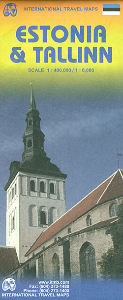
Estonia and Tallin at 1:400,000 and 1: 8,000 respectively, on a double-sided, indexed road map from ITMB including an enlargement of Tallin Old Town.The map displays Estonia on one side and Tallin on the other, each showing a separate index. Road networks distinguish motorways, major and minor roads with intermediate distances on connecting roads. Railways and ferry routes are also shown, while symbols clearly indicate parking, and international and domestic airports.Topography is represented by altitude colouring, and graphics locate rivers, lakes, national parks and reserves, Unesco World Heritage sites, scenic spots, hotsprings etc. Symbols mark locations of various places of interest including hotels, campsites, historic ruins, castles, beaches, ports, etc. International and administrative boundaries are marked. Latitude and longitude lines are drawn at intervals of 20’. The street plan of Tallin is a clearly laid out and extends from the Gulf of Tallin to Tallin international airport and the inter-city bus station in the south, the Central railway terminal in the west and the Kadriorg Art Museum in the east. The plan clearly illustrates the different types of roads with different colours, as well as the tram, intercity rail, and electric trolley bus lines. Information for tourists includes monuments, information points, shopping centres, theatres, embassies, bicycle routes, walking paths, etc. Separate enlargements represent Tallin Old Town at approximately 1:4,000, Tallin public transport network and Estonia’s main roads network.The map is annotated with historical and tourist information of places of interest, it is indexed and all place names are shown transliterated only. The multilingual legend includes English.


