Disclosure : This site contains affiliate links to products. We may receive a commission for purchases made through these links.
Categories
-
Best Sellers
-
Puebla de Alcocer CNIG Topo 780
-
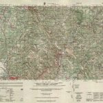
Coimbra (Penacova)
Topographic survey of Portugal at 1:50,000 from the Instituto Geogrรกfico do Exรฉrcito, the country’s military survey organisation. The maps have contours at 20m intervals and in Read More » -
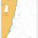
Admiralty Chart AUS812 – Nambucca Heads to Clarence River
Admiralty standard nautical charts comply with Safety of Life at Sea (SOLAS) regulations and are ideal for professional, commercial and recreational use. Charts within the series Read More » -
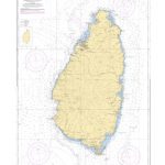
SHOM Chart 7614 – Saint Lucia
PLEASE NOTE: the chart will be ordered for you if not currently in stock. Please allow 1-2 weeks for the chart to reach Stanfords. SHOM charts Read More » -

Admiralty Chart 2691 – Fiji Islands
Admiralty standard nautical charts comply with Safety of Life at Sea (SOLAS) regulations and are ideal for professional, commercial and recreational use. Charts within the series Read More » -
Zuriza CNIG Topo 118
Topographic coverage of mainland Spain at 1:50,000 in the MTN50 (Mapa Topogrรกfico Nacional) series from the Centro Nacional de Informaciรณn Geografica, the country’s civilian survey organization. Read More » -

Logrosen CNIG Topo 707-3
Topographic coverage of mainland Spain at 1:25,000 published by the Centro Nacional de Informaciรณn Geograficรก, the country’s civilian survey organization. The maps have contours at 10m Read More » -
Admiralty Routeing Chart 5126(12) – Indian Ocean – December
Essential for use in passage planning for ocean voyages, Routeing Charts include routes and distances between major ports, ocean currents, ice limits, load lines and wind Read More » -
Asni – Imlil – Oukaรฏmeden – Setti-Fatma
Tourist map in an expanding series at 1:120,000 scale by ProjektNord.On one side is the map of the region, on the other, a listing of all Read More » -

Norg
-


