Disclosure : This site contains affiliate links to products. We may receive a commission for purchases made through these links.
Egypt F&B
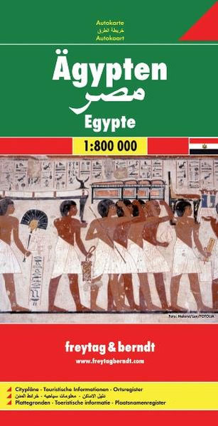
Freytag and Berndt’s Egypt road map at a scale of 1:800,000 is a place indexed, double sided, folded sheet map and comes with additional city maps, in an attached booklet, of Alexandria and Aswan at 1:15,000, and Cairo and Sharm el-Sheikh at 1:10,000.The road network in Egypt is shown, with motorway and duel carriage ways labelled with both route numbers and distance markers in kilometres. Primary and secondary roads, as well as tracks are shown. Main and subsidiary rail lines, car ferry routes and international and domestic airports are marked. The coverage of the map extends to displaying the main transport routes into Egypt from bordering countries.Concentration has been given to displaying the topographical water and desert features of the landscape, with lakes, salt marches, wadis, canals, salt lakes and swamps all differentiated. Places of particular interest are shown on the road map: notable buildings, castle ruins, archaeological sites. Oil fields are also located. Lines of latitude and longitude are given at 60’/1 degree intervals.


