Disclosure : This site contains affiliate links to products. We may receive a commission for purchases made through these links.
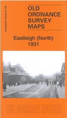
Eastleigh (North) 1931 – 57.08b
Related Products:
 Eastleigh (South) 1931 – 57.12b
 Eastleigh (North) & Bishopstoke 1908 – 57.08a
 Pendleton (North) 1931 – 104.01c
 Fareham (North) & Wallington 1931 – 75.05
 Eastleigh (South) 1908 – 57.12a
 Southampton – Eastleigh – Fawley – Hythe – Romsey A-Z Street Atlas
 Southsea 1931 – 83.12c
 Manchester (NE) 1931 – 104.07c
 Old Trafford 1931 – 104.13c
 Old Portsmouth & Gosport 1931 – 83.11c
 Alverstoke & Stokes Bay 1931 – 83.10
 Gosport (West) 1931 – 83.06
 Central Portsmouth 1931 – 83.08c
 Lymington (East) 1931 – 88.03
 Fareham (South) 1931 – 75.09
 Southampton (West) 1931 – 65.10b
 Southampton Docks 1931 – 65.15b
 Newton Heath 1931 – 104.04c
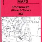 Portsmouth (Hilsea & Tipner) 1931 – 75.16
 Southhampton (Millbrook & Redbridge) 1931 – 65.05
 Southampton NW (Shirley & Freemantle) 1931 – 65.06
 Southampton (Upper Shirley) 1931 – 65.02
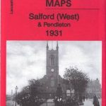 Salford (West) & Pendleton 1931 – 104.05c
 Manchester (NW) & Central Salford 1931 – 104.06c
 Manchester (Harpurhey & Collyhurst) 1931 – 104.03c
 Portsea & Portsmouth Dockyard 1931 – 83.07c
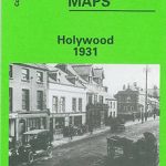 Holywood 1931
 The Falls 1931 – 60.12
 Central Belfast 1931 – 61.09
 Furness Abbey 1931
 SHOM Charts for the North East Atlantic, North Sea, Baltic Sea, Mediterranean Sea
 North-Holland North ANWB Cycling Junction Map 14
 Shetland: Mainland North West – North Roe & Sullom Voe OS Explorer Active Map 469 (waterproof)
 Bavaria North – Baden-Wurttemberg North/East 2-Map Cycling Set Kompass 3710
 Admiralty Chart 4053 – North Pacific Ocean North Western Part
 Shetland: Mainland North West – North Roe & Sullom Voe OS Explorer Map 469 (paper)
 NP252 Tidal Stream Atlas North Sea North-Western Part
 Lower Saxony West – North Rhine-Westphalia North 2-Map Cycling Set Kompass 3704
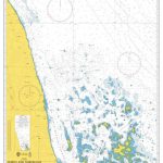 Admiralty Chart 164 – North and North-East Approaches to Massawa
 NGA Chart 121 – North Atlantic Ocean, North Sheet


