Disclosure : This site contains affiliate links to products. We may receive a commission for purchases made through these links.
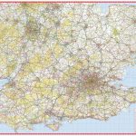
East Midlands A-Z Road Map
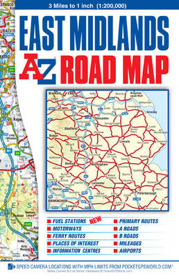
East Midlands on an indexed road map at 1:200,000 (1โ€ to 3 miles) from A-Z. Current edition was published in 2014.Mapping in this regional series from A-Z has clear presentation of the road network, topographic information, places of interest, etc. Publishersโ€ cartography used in their 5 miles to 1โ€ series is enlarged here to make local roads more prominent and provides all the standard motoring information: services, primary route destinations, toll barriers, gradients, locations of petrol stations and speed cameras, etc. Railway lines are shown with stations. Topography is indicated by colouring and relief shading for areas above 400 feet (122 metres), with additional colouring for woodlands. A wide range of symbols highlight various places of interest. Each title has British National Grid lines and is indexed. Selected regions are also covered by A5, paperback road atlases with the same cartography slightly enlarged, so with place names in larger print. The atlases include town centre street plans of main cities โ€“ for details please see individual descriptions.To see the list of titles in this series please click on the series link.

Related Products:
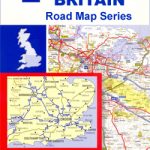
 Great Britain: A-Z Regional Road Maps and Atlases
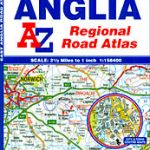 East Anglia A-Z Regional Road Atlas
 Devon & Cornwall A-Z Road Map
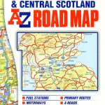 Glasgow – Edinburgh & Central Scotland A-Z Road Map
 Wales A-Z Regional Road Atlas
 50 Miles Around Bristol A-Z Map
 Southern England A-Z Regional Road Atlas
 50 Miles Around London A-Z Map
 Kent A-Z Visitors` Wall Map
 Great Britain: A-Z Regional Wall Maps
 South East England – Midlands – East Anglia Michelin Regional 504
 USA: Hallwag Regional Road Maps
 Great Britain: Philip`s Navigator Regional Road Atlases
 Great Britain: AA Regional Road Maps
 South West England & South Wales A-Z Road Map
 South East & Central England A-Z Wall Map PAPER
 East Midlands & East Anglia OS Road Map 5
 Scotland North & South A-Z Road Map
 East Midlands 110K Sustrans Cycle Map No. 21
 Britain & Ireland Philip`s Big Road Atlas 2017
 Britain & Ireland Philip`s Complete Road Atlas 2017 SPIRAL-BOUND
 Australia Hema Road & 4WD Atlas PAPERBACK
 Deep South USA 10 Hallwag Road Map
 Pacific Northwest USA 01 Hallwag Road Map
 Great Britain: A-Z Five Miles to One Inch Road Maps
 Great Britain: Philip`s Road Atlases
 Texas USA 09 Hallwag Road Map
 Australia Hema Road & 4WD Touring Atlas A4 SPIRAL-BOUND
 North Central – Great Plains USA 02 Hallwag Road Map
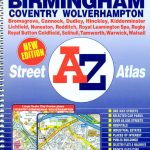 West Midlands – Birmingham – Coventry – Wolverhampton A-Z Street Atlas
 Great Britain: A-Z Towns and Cities Street Atlases
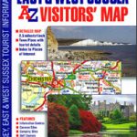 Surrey, East & West Sussex A-Z Visitors` Map
 Florida USA 11 Hallwag Road Map
 East Midlands A-Z Wall Map PAPER
 Southwest – Southern Rockies USA 06 Hallwag Road Map
 Great Lakes USA 03 Hallwag Road Map
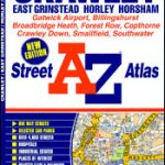 Crawley – East Grinstead – Horley – Horsham A-Z Street Atlas
 Ireland: Collins Road Atlases
 South Central USA 07 Hallwag Road Map
 California – Nevada USA 05 Hallwag Road Map