Disclosure : This site contains affiliate links to products. We may receive a commission for purchases made through these links.
East Anglia A-Z Wall Map
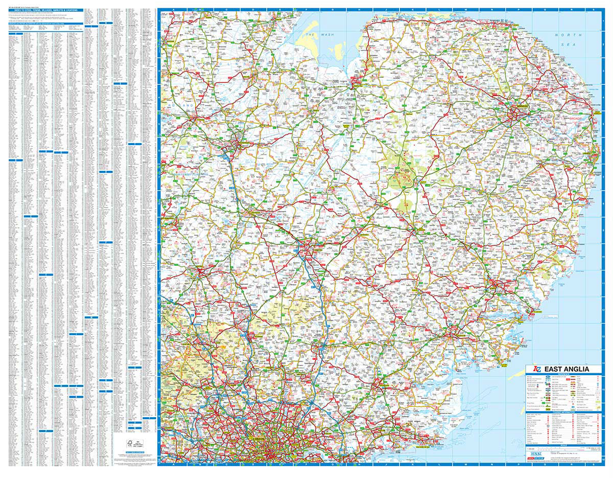
Regional wall map of East Anglia at 1:200,000 (3.2 miles to 1inch) from A to Z, covering: Grantham, King`s Lynn, Great Yarmouth, Felixstowe, Central London, Slough, Bedford and Stamford. Clear presentation of the road network shows motorways, A and B roads, some minor and local roads, with gradients of 1:5 and steeper indicated. Service stations, railway lines and stops, ferry terminals, and airports are clearly marked.Tourist information such as points of interest and local facilities are prominently highlighted with a variety of symbols. Topography is shown by altitude tints, if in rather broad bands, with spot heights (in feet) and additional colouring for woodland areas; the National Grid is overprinted on the cartography. National and unitary authority boundaries are indicated.There is an index for cities, town, and villages at the edge of the map.

Related Products:
 50 Miles Around Birmingham A-Z Wall Map
 Glasgow – Edinburgh & Central Scotland A-Z Wall Map PAPER
 Devon & Cornwall A-Z Wall Map PAPER
 50 Miles Around Bristol Wall Map PAPER
 East Anglia AA Road Map 4
 Great Britain: A-Z Regional Wall Maps
 Kent A-Z Visitors` Wall Map
 East Anglia A-Z Regional Road Atlas
 South East England – Midlands – East Anglia Michelin Regional 504
 Saskatchewan ITMB
 Manitoba ITMB
 Bhutan & Northeast India ITMB
 Andalucรญa East: Granada – Almerรญa – Murcia 500K CNIG Regional Map No. 12
 Pyrenees East – Barcelona – Costa Brava 500K CNIG Regional Map No. 4
 North East New South Wales – Coffs Harbour to Brisbane Hema Explorer Map
 China East ITMB
 Canary Islands East: Gran Canaria, Fuerteventura, Lanzarote 500K CNIG Regional Map No.
 North East New South Wales Hema
 Dzukija National Park
ลฝemaitija National Park
Aukลกtaitijos National Park
Dzukija National Park
ลฝemaitija National Park
Aukลกtaitijos National Park
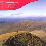
 Cairngorms & Lochnagar Harvey British Mountain Map XT40
 Dartmoor Harvey British Mountain Map XT40
 Australia East Adventure Map
 Ben Nevis & Glen Coe Harvey British Mountain Map XT40
 Tajikistan – The Pamirs Gizi Map Wall Map
Curonian Spit National Park
Tajikistan – The Pamirs Gizi Map Wall Map
Curonian Spit National Park
 Uzbekistan Gizi Map Wall Map
 Lake District Harvey British Mountain Map XT40
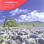 Yorkshire Dales Harvey British Mountain Map XT40
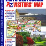 Surrey, East & West Sussex A-Z Visitors` Map
 South America North ITMB
 Dark Peak Harvey British Mountain Map XT40
 Knoydart – Kintail & Glen Affric Harvey British Mountain Map XT40
 Brecon Beacons Harvey British Mountain Map XT40
 Great Britain: Ordnance Survey Tour Maps
 The Cotswolds – Malverns & Forest of Dean Map & Guide of Places to Visit
 Albania F&B Top 10 Tips
 Snowdonia North / Gogledd Eryri Harvey British Mountain Map XT40
 Macedonia Wall Map