Disclosure : This site contains affiliate links to products. We may receive a commission for purchases made through these links.
Ealing 1894
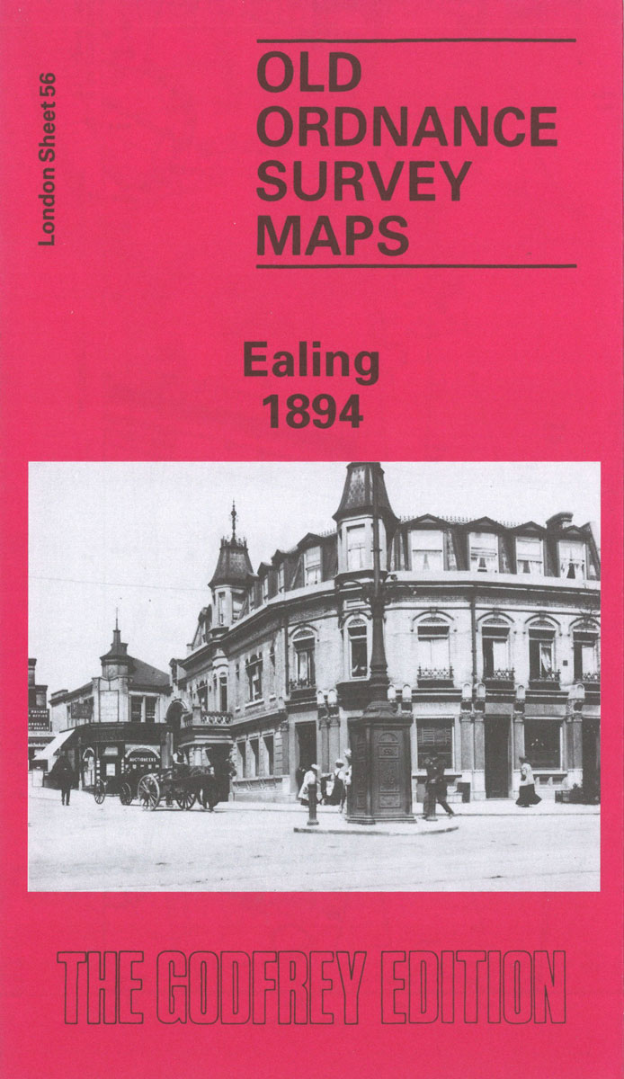
Ealing in 1894 in a fascinating series of reproductions of old Ordnance Survey plans in the Alan Godfrey Editions, ideal for anyone interested in the history of their neighbourhood or family. Two versions of this map show the area stretching from Eccleston Road eastward to Ealing Broadway and Windsor Road, and from Cleveland Road and Castle Bar southward to Grange Road and Churchfield Road. The map covers central and west Ealing. Features include Ealing Broadway station, Castle Hill & Ealing Dean station, Haven Green, Drayton Green, cemetery, Central London District School. Churches include St Stephen`s, St John`s Mattock Lane, Christ Church. Streets include The Avenue, Uxbridge Road, High Street, Eaton Rise, Argyle Road etc. The 1934 map has a 1933 list of private inhabitanmts in Ealing (the list continues on sheets 70 and 71).About the Alan Godfrey Editions of the 25″ OS Series:Selected towns in Great Britain and Ireland are covered by maps showing the extent of urban development in the last decades of the 19th and early 20th century. The plans have been taken from the Ordnance Survey mapping and reprinted at about 15 inches to one mile (1:4,340). On the reverse most maps have historical notes and many also include extracts from contemporary directories. Most maps cover about one mile (1.6kms) north/south, one and a half miles (2.4kms) across; adjoining sheets can be combined to provide wider coverage.FOR MORE INFORMATION AND A COMPLETE LIST OF ALL AVAILABLE TITLES PLEASE CLICK ON THE SERIES LINK.

Related Products:
 Ealing 1934
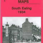 South Ealing 1934 – 70.4
 New Cross & Deptford Broadway 1894 – 104.2
 Bethnal Green & Bow 1894 – 52.2
 Ealing 1913
 Wood Green 1894 – 7.2
 Perivale 1894
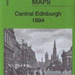 Central Edinburgh 1894 – 3.07
 Eltham Green 1894 – 120.2
 Central Newcastle 1894 – 11a
 Stoke Newington 1894 – 30.2
 Clerkenwell, King`s Cross & The Angel 1894 – 50.2
 Castle Douglas 1894
West Twickenham & Strawberry Hill 1894 – 121a
Castle Douglas 1894
West Twickenham & Strawberry Hill 1894 – 121a
 Tottenham (North) 1894 – 8a
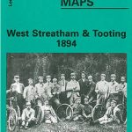 West Streatham & Tooting 1894 – 135a
 Ilford 1894
Hornsey 1894 – 12.2
Ilford 1894
Hornsey 1894 – 12.2
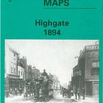 Highgate 1894 – 19.2
 Chelsea & West Brompton 1894 – 87.2
St Rollox 1894 – 6.07a
Chelsea & West Brompton 1894 – 87.2
St Rollox 1894 – 6.07a
 Streatham Hill & Tulse Hill 1894 – 126.2
 Bermondsey & Wapping 1894 – 77.2
Kensal Green & Queen`s Park 1894 – 47.2
Seaton Carew 1894
Bermondsey & Wapping 1894 – 77.2
Kensal Green & Queen`s Park 1894 – 47.2
Seaton Carew 1894
 Hammersmith & Fulham 1894 – 86.2
North Shields and Chirton 1894
Newcastle & Gateshead 1894 – 18a
Hammersmith & Fulham 1894 – 86.2
North Shields and Chirton 1894
Newcastle & Gateshead 1894 – 18a
 East Finchley 1894 – 10.2
 Norbury and Upper Norwood 1894
 Southall 1894
 Camberwell & Stockwell 1894 – 102.2
Durham City East 1894
Camberwell & Stockwell 1894 – 102.2
Durham City East 1894
 Peckham 1894 – 103.2
 Twickenham & Petersham 1894 – 122
 Wandsworth 1894 – 114a
Upper Holloway 1894 – 29.2
Wandsworth 1894 – 114a
Upper Holloway 1894 – 29.2
 Upper Edmonton 1894 – 3a
 Shortlands 1894
 Holland Park & Shepherds Bush 1894 – 73.2