Disclosure : This site contains affiliate links to products. We may receive a commission for purchases made through these links.
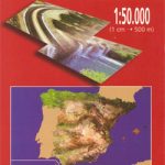
Dudh Kosi
Dudh Kosi region at 1:50,000 in a series of detailed topographic maps of selected trekking areas of Nepal originally prepared by E. Schneider and now edited by the German Scientific Association of Comparative High-Mountain Research (Arbeitsgemeinschaft fรผr vergleichende Hochgebirgsforschung). The map covers the lower Dudh Kosi River, the downstream end of the Hinku River, and the Rawa River. Traditionally referred to as ‘the Schneider maps”, titles in this series cover Nepal’s most popular trekking regions at 1:50,000 or 1:100,000. The maps were originally prepared by the Austrian climber and cartographer Erwin Schneider and for nearly five decades provided the best and often the only coverage of these areas. Now sponsored by the German Scientific Association of Comparative High-Mountain Research (Arbeitsgemeinschaft fรผr vergleichende Hochgebirgsforschung), the maps are still quoted in most trekking guides to Nepal. Most maps have contours at 40-m intervals and, with bold relief shading and colouring for the glaciers, provide a vivid representation of the terrain. Margin ticks and crosshairs give UTM coordinates plus latitude and longitude. Map legend is in English.As the series is currently being revised to include more trekking information, please see the individual descriptions for more details. Please click on the series link to see the full list of currently available titles.

Related Products:
 Tamba Kosi – Likhu Khola
Lapchi Kang
Rolwaling Himal (Gaurisankar)
Tamba Kosi – Likhu Khola
Lapchi Kang
Rolwaling Himal (Gaurisankar)
 Annapurna
 Annapurna Himal
 Helambu – Langtang
Nepal: Schneider Trekking Maps
Helambu – Langtang
Nepal: Schneider Trekking Maps
 Lower Dudh Kosi – Okhaldhunga
 Khumbu Himal Schneider Nepal Map 02
 Shorong – Hinku
 Nepal: Leomann Trekking Maps
Nepal Reise Know-How
Nepal: Leomann Trekking Maps
Nepal Reise Know-How
 Trekking in Nepal: A Traveller`s Guide
Trekking Around the Nepal Himalaya
Trekking in Nepal: A Traveller`s Guide
Trekking Around the Nepal Himalaya
 Central Nepal Rafting Map
Western Nepal Rafting and Kayaking Map
Nepal: Himalayan MapHouse Trekking Map 100 Series with the Great Himalaya Trail
Central Nepal Rafting Map
Western Nepal Rafting and Kayaking Map
Nepal: Himalayan MapHouse Trekking Map 100 Series with the Great Himalaya Trail
 Monastry Circuit Trail
 Nepal: Nepa Trekking and Hiking Maps
 Trekking in the Everest Region: Includes Kathmandu City Guide
 Nepal`s Far West – Api & Saipal Himal – Khaptad & Rapa NP – Humla Great Himayala Trail Map
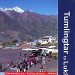 Tumlingtar to Lukla
 White Water Nepal
 Indigenous Peoples Trail
 Dudhkunda- Pikey Cultural Trail & Rejno Pass Trail (Jiri – Pikey – Everest)
 Nepal Trekking
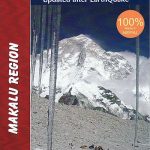 Makalu Region Great Himalay Trail Map
 Rolwaling Region Great Himalaya Trail Map
 Everest Base Camp NGS Adventure Map 3001
 Nepal: Alpenverien Trekking Maps
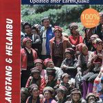 Langtang & Helambu Great Himalaya Trail Map
 Tenzing-Hillary Trek – Jiri to Everest Base Camp
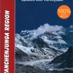 Kanchenjunga Region Great Himalaya Trail Map
 Kailash – Gurla Mandhata
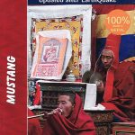 Mustang Great Himalaya Trail Map
 Kanchenjunga
 Manaslu & Tsum Valley
 Annapurna, Naar & Phu Great Himalaya Trail Map
 Khumbu – Sagarmatha National Park
 Lukla to Gokyo – Cho-La – Renjo-La – Nagpa-La