Disclosure : This site contains affiliate links to products. We may receive a commission for purchases made through these links.
Dovrefjell – Snรธhetta Nordeca 2829
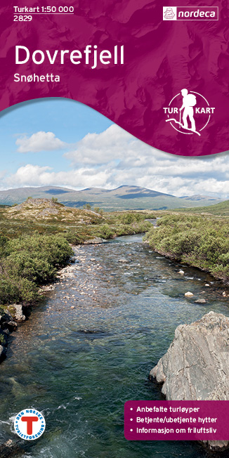
The Snรธhetta area of the Dovrefjell mountain range in northern Norway on a contoured and GPS-compatible, waterproof and tear-resistant Turkart map at 1:50,000 from Nordeca with cartography of the country’s topographic survey overprinted with hiking and ski trails, etc.Contours are at 20m intervals with spot heights and colouring for glaciers and forested areas. The overprint for waymarked hiking trails indicates footbridges and river fords. Ski trails show illuminated and/or winter routes. Symbols indicate facilities for other recreational pursuits (fishing canoeing, climbing, etc), various types of tourist accommodation (campsites huts, hotels, etc)., etc. The map has a 1km UTM grid. Map legend includes English. Notes on the reverse (mainly about the GPS system, using a compass, etc) are in Norwegian only.To see the other titles in this series please click on the series link.

Related Products:
 Dovrefjell East – Knutsรธ Nordeca 2710
 Salla – Savukoski Recreational Map
 Besseggen Nordeca 2649
 Gullfjellet Nordeca 2713
 Glittertinden Nordeca 2757
 Galdhopiggen Nordeca 2655
 Gaustatoppen Nordeca 2657
 Hurrungane Nordeca 2758
 Geirangerfjorden Nordeca 2760
 Snรธheim Nordeca 2784
 Romsdalseggen og Trolltindene Nordeca 2756
 Oslo Vestmark Nordeca 2795
 Oslo รstmark Nordeca 2794
 Oslo Nordmark South Nordeca 2826
 Finse Nordeca 2241
 Stavanger and North Jaeren Nordeca 2762
 Le Sentier Cathare – Queribus – Peyrepertuse Rando Editions 9
 Canigou-Garrotxa Rando Editions 10
 Luchon Rando Editions 5
 Pays Basque East Rando Editions 2
 Dovrefjell East Nordeca 3020
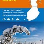 Finland North Karttakeskus Outdoor Road Map
 Cabaรฑeros National Park CNIG Map-Guide SPANISH
 Bergen – 7-Mountains Hike Nordeca 2429
 Couserans-Val d`Aran Rando Editions 6
 Haute-Ariรฉge Rando Editions 7
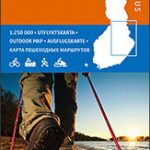 Finland East Karttakeskus Outdoor Road Map
 Bรฉarn – Aspe – Ossau – Pyrenees National Park Rando Editions 3
 Finland West Karttakeskus Outdoor Road Map
 Hjelmelandsheiane Nordeca 2232
 Korรงa and Environs
 Greece: Terrain Editions Maps for Hiking and Recreational Pursuits
 Pays Basque West Rando Editions 1
 Puka and Environs
 Elbasan – Berat
 Saranda and Environs
France: Rando Editions/IGN 50K Walking Maps of the Pyrenees
Saranda and Environs
France: Rando Editions/IGN 50K Walking Maps of the Pyrenees
 Suldalsheiene Nordeca 2228
 Vlora and Environs
 Bigorre – Cauterets – Gavarnie – Saint-Lary-Soulan – Pyrenees NP Rando Editions 4