Disclosure : This site contains affiliate links to products. We may receive a commission for purchases made through these links.
Domodossola 30K Zanetti Map No. 64
Domodossola area in the Italian Alps on a contoured map at 1:30,000 in a series from Zanetti Editore highlighting waymarked hiking trails, refuges and places of interest. Maps in this series have contours at 25m with spot heights, shading and colouring for woodlands show the topography. Local footpaths are marked, with an overprint highlighting waymarked routes and indicating difficult sections. A varying range of symbols shows local facilities and places of interest. Some titles have grid lines, presumably of a UTM grid, but without indicating any coordinates. Map legend is in Italian (in some titles also in German).To see the list of titles in this series please click on the series link.

Related Products:
 Valle Strona 30K Zanetti Map No. 65
 Val Divedro 30K Zanetti Map No. 56
 Val Vigezzo 30K Zanetti Map No. 57
 Lago d`Orta 30K Zanetti Map No. 52
Val Formazza Pomattertal 30K Zanetti Map No. 59
Valle Anzasca Est 30K Zanetti Map No. 60
Valle Antrona 30K Zanetti Map No. 62
Valle Bognanco 30K Zanetti Map No.63
Lago Maggiore: Cannobio 30K Zanetti Map No. 58
Lago d`Orta 30K Zanetti Map No. 52
Val Formazza Pomattertal 30K Zanetti Map No. 59
Valle Anzasca Est 30K Zanetti Map No. 60
Valle Antrona 30K Zanetti Map No. 62
Valle Bognanco 30K Zanetti Map No.63
Lago Maggiore: Cannobio 30K Zanetti Map No. 58
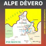 Alpe Dรจvero Natural Park 30K Zanetti Map No. 55
Valle Anzasca Ovest 30K Zanetti Map No. 61
Alpe Dรจvero Natural Park 30K Zanetti Map No. 55
Valle Anzasca Ovest 30K Zanetti Map No. 61
 Lago Maggiore: Golfo Borromeo 30K Zanetti Map No. 53
Italy: Zanetti 30K Maps of the Italian Alps
Lago Maggiore: Golfo Borromeo 30K Zanetti Map No. 53
Italy: Zanetti 30K Maps of the Italian Alps
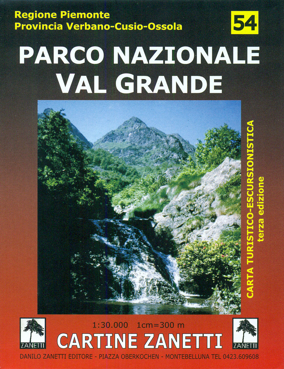
 Parco Nazionale Val Grande – Lake Maggiore 30K Zanetti Map No. 54
Arona 30K Zanetto Map No. 51
Parco Nazionale Val Grande – Lake Maggiore 30K Zanetti Map No. 54
Arona 30K Zanetto Map No. 51
 Domodossola – Val Formazza 50K IGC Map No. 11
 Domodossola Swisstopo 285
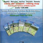 Majella 6-Map Set
 Domodossola – Val Grande National Park Swisstopo Hiking 285T
 Notranjska s Sneลพnikom
 Karavanke – Central Area
 Ljubljana and Environs Slovenian Alpine Club 50K Map
 Allgรคu 35K Kompass Hiking Atlas No.2751
 Triglav Slovenian Alpine Club 25K Map
 Kamnik-Savinja Alps
 Triglav National Park
 Vancouver Island ITMB
 Polhograjsko Hribovje Slovenian Alpine Club 25K Map
 Posavsko Hribovje East: Boc – Bohor Slovenian Alpine Club 50K Map
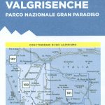 Valsavarenche – Val di Rhรชmes – Valgrisenche IGC 102
 Grintovci Slovenian Alpine Club 25K Map
 Storzic – Kosuta Slovenian Alpine Club 25K Map
 Carso Triestino e Isontino Tabacco 047
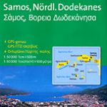 Samos & Northern Dodecanese Islands 50K Kompass Map No.253
 Jalovec and Mangart Slovenian Alpine Club 25k Map
 Gran Paradiso – La Grivola – Cogne IGC 101
 South America North ITMB
 Altmuhltal NP West UK50-23
 Couserans-Val d`Aran Rando Editions 6
 Mont Blanc Pocket Map Edition Didier Richard