Disclosure : This site contains affiliate links to products. We may receive a commission for purchases made through these links.
Dominica
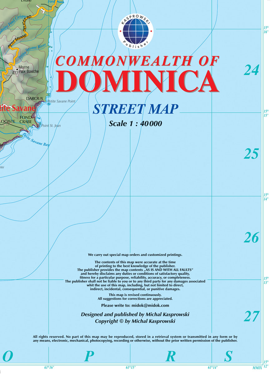
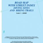
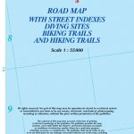
Dominica at 1:40,000 on a map from the Caribbean-based cartographer Michal Kasprowski highlighting 41 diving sites, plus indexed street plans of the Lagon – Portsmouth – Glanvilla, Mรฉro – St. Joseph, Roseau, and Wallhouse -Loubiere areas. Road network highlights main roads and shows secondary roads and local tracks or footpaths. Symbols indicate places of worship and facilities such as post offices, police stations, etc. The map has contours at 100m intervals, with a few spot heights. Rocky coastline, coral reefs and marine reserves are marked. 41 diving sites are prominently highlighted and named. Latitude and longitude lines are marked at 1’ intervals. The main map itself is not indexed, but street indexes are provided for the enlargements showing built up areas in greater details.

Related Products:
 Dominica & Saint Lucia ITMB
 Antigua & Dominica ITMB
 St Eustatius / Statia
 Aruba
Aruba
 St. Martin & Anguilla ITMB
 Curaรงao
 Saint Martin / Sint Maarten
 Bonaire
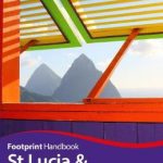 St Lucia & Dominica Footprint Handbook
 Sรฃo Vicente – Mindelo AB Kartenverlag Hiking Map
 St-Barthรฉlemy
 Anguilla
 Panama NGS Adventure Map 3101
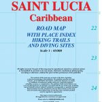 Saint Lucia
Costa Rica Reise Know-How
Saint Lucia
Costa Rica Reise Know-How
 Costa Rica – Panama Reise Know-How
 Tahiti & Cook Islands ITMB
 Cape Town & Peninsula NGS Adventure Map 3200
Guadeloupe & Dominica ITMB
Cape Town & Peninsula NGS Adventure Map 3200
Guadeloupe & Dominica ITMB
 Eastern Crete Terrain Editions 450
 Central Crete Terrain Editions 449
 Western Crete Terrain Editions 448
 Cayman Islands & Jamaica ITMB
 In the Forests of Freedom: The Fighting Maroons of Dominica
 Chalkidiki / Halkidiki – Thessaloniki Street Plan Terrain Editions 412
 Guatemala NGS Adventure Map 3110
 Virgin Islands (US and British) ITMB
 Greece: Terrain Editions 100K Touring Maps of Crete
 New Zealand Gizi Map
 Trinidad & Tobago ITMB
 Northern Baja California NGS Adventure Map 3103
 Northern Yucatan Peninsula NGS Adventure Map 3105
 Cuba ITMB
 Malaysia Periplus Travel Map
 Egypt Gizi Map
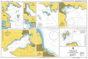
 A3 Anguilla to Dominica Passage Chart
 Mauritius – Reunion – Rodrigues Reise Know-How
 Nicaragua – Honduras – El Salvador Reise Know-How
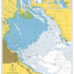
 St Lucia Gizi Map
 Cuba Gizi Map