Disclosure : This site contains affiliate links to products. We may receive a commission for purchases made through these links.
Djibouti IGN 85004
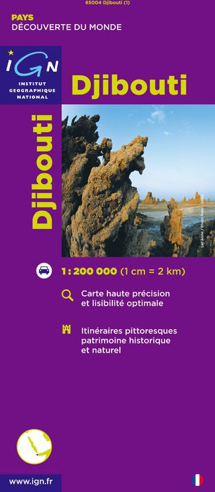
Djibouti at 1:200,000 on an indexed map from the Institut Gรฉographique National in Paris showing both the country’s road and rail networks and its physical geography, plus an enlargement of Djibouti City with its international airport.Road classification indicates unsurfaced routes and includes 4WD trails and tracks. Intermediate distances are marked on main roads and important minor routes. The map also gives locations of fuel supplies. Railway lines are included and local aerodromes marked. Symbols indicate locations with tourist accommodation, post offices with telecommunication facilities, hospitals, etc.Relief is depicted by hill-shading complemented by contours and spot heights, with additional graphics for ridges and colours for landscape variations e.g. mangroves, areas liable to flooding, sand, forest etc. District boundaries are marked and latitude and longitude lines are drawn at 15’ intervals.The map of greater Djibouti City is at 1:50,000 and includes adjacent Balbala and the international airport. No street names are marked but various buildings are indicated e.g. mosques, hospitals, the railway station. The map legend is in French only.

Related Products:
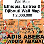 Ethiopia – Eritrea – Djibouti Wall Map
 Ethiopia – Eritrea – Djibouti Gizi Map
 Ethiopia – Eritrea – Djibouti
 Ethiopia – Somalia – Eritrea – Djibouti Reise-Know-How
 Athens Anavasi Pocket Map
 Bangkok & Thailand South ITMB
 Lonely Planet Ethiopia & Djibouti
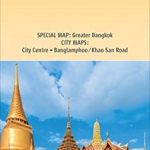 Bangkok and Greater Bangkok Nelles
 Kabul & Historic Khyber Pass ITMB
 Wiener Neustadt F&B
 Vienna F&B Tourist Street Plan
 Bucharest Street Atlas
 Estonia & Tallinn ITMB
 Prague F&B
 Oslo / Bergen & South of Norway ITMB
 Madrid Michelin Citymap
 Helsinki & Southern Finland ITMB
 Zurich & Switzerland NW ITMB
 Quito & Central Ecuador ITMB
 Botswana Tracks4Africa
 Jurmala Jana Seta Street Plan
 Stockholm & Southern Sweden ITMB
 Easter Island & Santiago ITMB
 Bavaria South Marco Polo Regional Map 13
 Mexico Central & Mexico City ITMB
 California Marco Polo Map
 Rio de Janeiro Marco Polo City Map
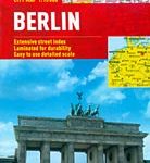 Berlin Marco Polo City Map
 Aberdeen A-Z Street Atlas
 Belgium F&B
 Lagos
Lagos
 Manchester Premier A-Z Map
 Warsaw & Poland East ITMB
 Auckland Complete
 USA – Southern Canada Marco Polo Road Atlas A4 SPIRAL-BOUND
 Manchester Premier A-Z Map WATERPROOF
 Philippines ITMB
 Qatar and Doha City ITMB
 Azerbaidjan
 Innsbruck F&B Tourist Street Plan