Disclosure : This site contains affiliate links to products. We may receive a commission for purchases made through these links.
Devon & Cornwall A-Z Wall Map PAPER
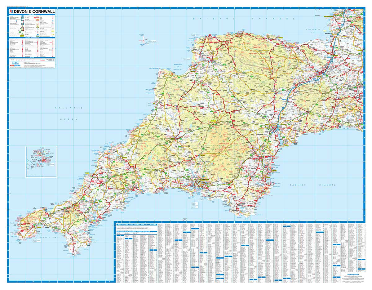
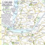
Regional wall map of at 1:200,000 (3.2 miles to 1inch) from A to Z, covering: Weston-super-Mare, Bridgwater, Bridport, Lyme Regis, Exmouth, Exeter, Torquay, Salcombe, Plymouth, Penzance, Land`s End, Newquay and Minehead.. Clear presentation of the road network shows motorways, A and B roads, some minor and local roads, with gradients of 1:5 and steeper indicated. Service stations, railway lines and stops, ferry terminals, and airports are clearly marked.Tourist information such as points of interest and local facilities are prominently highlighted with a variety of symbols. Topography is shown by altitude tints, if in rather broad bands, with spot heights (in feet) and additional colouring for woodland areas; the National Grid is overprinted on the cartography. National and unitary authority boundaries are indicated.

Related Products:
 Glasgow – Edinburgh & Central Scotland A-Z Wall Map PAPER
 50 Miles Around Bristol Wall Map PAPER
 50 Miles Around Birmingham A-Z Wall Map
 East Anglia A-Z Wall Map
 Devon – Cornwall – West Somerset A-Z Visitors` Atlas & Guide
 Cornwall East – Bodmin/St Austell to West Devon Cycling Map 81
 Devon & Cornwall A-Z Road Map
 Tajikistan – The Pamirs Gizi Map Wall Map
 Uzbekistan Gizi Map Wall Map
 Devon A-Z Visitors` Map
 Saskatchewan ITMB
 Manitoba ITMB
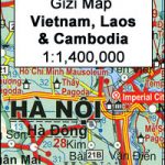 Vietnam – Laos – Cambodia Wall Map
 Best of Albania
 Costa Rica NGS Wall Map PAPER
 South Devon – Brixham to Newton Ferrers OS Explorer Map OL20 (paper)
 British Isles Political Wall Map PAPER
 Kent A-Z Visitors` Wall Map
 Saskatchewan Back Road Atlas
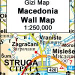 Macedonia Wall Map
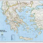 Greece NGS Classic Wall Map PAPER
 Pakistan ITMB
 Bolivia ITMB
 South Devon Cycling Map 83
 Albania North
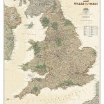 England and Wales NGS Executive Wall Map PAPER
 Italy North K+F Road Map
 Albania South
 North Devon Cycling Map 82
 Savannah Way – Cairns to Broome Hema Touring Map
 Italy K+F Double-Sided Road Map
 USA Southwest ITMB
 Baltic Sea Coast – Hamburg – Berlin K+F Regional Map
 Albania Central
 Bavaria North – Saxony – Thuringia K+F Regional Road Map
Turkmenistan Gizi Wall Map
Bavaria North – Saxony – Thuringia K+F Regional Road Map
Turkmenistan Gizi Wall Map
 Berlin – Brandenburg – Saxony-Anhalt K+F Regional Road Map
 Japan Railway & Road ITMB Travel Atlas
 Hesse – Rhineland-Palatinate – Saarland K+F Regional Map
 Albania F&B Top 10 Tips