Disclosure : This site contains affiliate links to products. We may receive a commission for purchases made through these links.
Devon A-Z Visitors` Map
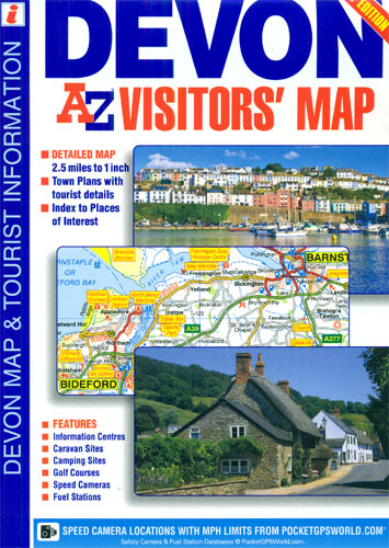
Devon Visitors’ Map from Geographers’ A-Z Map Company covering the county at 1:158,400 (1″ to 2.5 miles), plus seven street plans. Numerous places of interest are prominently highlighted on the map and the plans, plus listed in an extensive index. Road network is shown with Primary Route Destinations prominently marked, services on motorways and major roads, locations of safety cameras with speed limits, etc. Topography is indicated by colouring for national parks, areas of natural beauty and woodlands. A very wide range of symbols indicates various attractions, places of interest and facilities, which are also listed in the index of towns and villages, placed next to the map. Surrounding the map are street plans of Barnstable, Brixham, Dartmouth, Exeter, Plymouth, Paignton and Torquay. Current 8th edition of this title was published in 2015. To see the list of titles on A-Z’s Visitor’ series please click on the series link.

Related Products:
 Devon – Cornwall – West Somerset A-Z Visitors` Atlas & Guide
 Kent A-Z Visitors` Map
 Cotswolds & Chilterns A-Z Visitors` Map
 Hampshire, Dorset & Wiltshire A-Z Visitors` Map
 Great Britain: A-Z Visitors` Maps and Atlases
 Devon A-Z Visitors` Wall Map PAPER
 Isle of Wight A-Z Visitors` Map
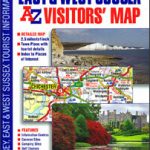 Surrey, East & West Sussex A-Z Visitors` Map
 Lake District A-Z Visitors` Map
 Devon & Cornwall A-Z Road Map
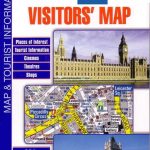
 London A-Z Visitors` Map
 Peak District A-Z Visitors` Wall Map PAPER
 Lake District A-Z Visitor`s Atlas & Guide
 Devon South Sustrans Cycle Map 2
 Kent A-Z Visitors` Wall Map
 Black Forest F&B Top 10 Tips
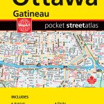 Ottawa – Gatineau Pocket Street Atlas
 South Devon Cycling Map 83
 South Devon – Brixham to Newton Ferrers OS Explorer Map OL20 (paper)
 South Devon – Brixham to Newton Ferrers OS Explorer Active Map OL20 (waterproof)
 Cornwall A-Z Visitors` Map
 Costa Rica Travel Map
 Isle of Wight A-Z Visitors` Wall Map
 Rome Global Map Street Plan
 SalzAlpenSteig: Chiemsee – Kรถnigssee -Halstรคtter See
 Lofoten and Vesteralen Islands
 Corsica F&B Top 10 Tips
 Wales A-Z Visitors` Map
 East Anglia A-Z Visitors` Map
 Devon Philip`s Street Atlas
 Saskatchewan ITMB
 Northland: Whangarei, Bay of Islands and 61 Provincial Towns Pathfinder
 Manitoba ITMB
 Germany: Freytag & Berndt “Top 10 Tips” Road Maps
 Devon
Devon
 Cefalรบ
 Waikato Towns and District Pathfinder
 Pรฉcs
Pรฉcs
 Pau Blay-Foldex Street Plan
 Lithuania Jana Seta Road Atlas HARDBACK