Disclosure : This site contains affiliate links to products. We may receive a commission for purchases made through these links.
Derbyshire
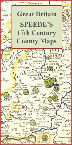
Derbyshire in a series of colourful reproductions of attractive county maps by John Speede from about 1610-1611, printed on thick art paper and ideal for framing. Each title, 58 x 45cm / approx. 23″ x 18″, is decorated with additional notes, drawings, coats of arms, street plans, etc.Little drawings are used to show locations of towns, larger villages, hills and woodlands or parks. Rivers and lakes are also drawn, as are boundaries of the administrative subdivisions with the names of the Hundreds.Surrounding the county are decorative panels filled with additional information which differs from title to title: street plans, coats of arms of notable local families, geographical features, notes about local history, etc.

Related Products:
 Devon
Dorset
Gloucestershire
Hampshire
Lancashire
Leicestershire
Middlesex
Norfolk
Oxfordshire
Somerset
Shropshire
Staffordshire
Suffolk
Warwickshire
Westmorland
Wiltshire
Bedfordshire
Cambridgeshire
Cheshire
Herefordshire
Huntingdonshire
Monmouthshire
Rutland
Worcestershire
Great Britain: Speede County Maps of Great Britain
Yorkshire: East and North Ridings
Devon
Dorset
Gloucestershire
Hampshire
Lancashire
Leicestershire
Middlesex
Norfolk
Oxfordshire
Somerset
Shropshire
Staffordshire
Suffolk
Warwickshire
Westmorland
Wiltshire
Bedfordshire
Cambridgeshire
Cheshire
Herefordshire
Huntingdonshire
Monmouthshire
Rutland
Worcestershire
Great Britain: Speede County Maps of Great Britain
Yorkshire: East and North Ridings
 Serbia/Montenegro: Geokarta Hiking and Recreational Maps
 Derbyshire Philip`s Street Atlas
 Derbyshire in Photographs
 Pennine Bridleway: From Derbyshire through the Yorkshire Dales to Cumbria
 Derbyshire Walking
 Valmiera and Valmiera Region
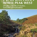 Walking in the Peak District – White Peak West: 40 walks in the hills of Cheshire, Derbyshire and Staffordshire
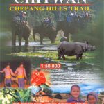 Chitwan: Chepang Hills Trail
 Bakersfield, Kern County, CA
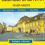 Szekesfehervar – Fejer County
 Zalaegerszeg – Zala County
 The Derbyshire Cook Book: A Celebration of the Amazing Food and Drink on Our Doorstep
 Bennington County, VT
 Debrecen