Disclosure : This site contains affiliate links to products. We may receive a commission for purchases made through these links.
Day Drives from Cape Town
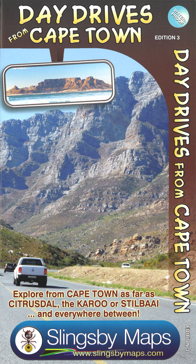
Day Drives from Cape Town map is the most comprehensive map available of the heartland of the Western Cape. The map shows all the roads, towns and relief of the area from Cape Town north to Citrusdal, north-east to Laingsburg and east to Stilbaai / Albertinia: all destinations within easy motoring reach of Cape Town. The most important tourist features are included, with `smiling faces` indicating the most scenic routes. This is the third edition of this popular general guide, now extended eastwards to make it even more useful than before!One side of this double-sided map covers the area from Cape Town, up the west coast to Velddrif and across via Aurira and Piketberg to Citrusdal and the Kouebokkeveld. Ceres, Worcester, Stanford and Gansbaai mark the eastern edge of Side 1, which also includes a useful enlargement of the Cape Peninsula, at a scale of 1:200 000.Turn over the map [there is a small, useful overlap] and the map will take you via Touwsrivier to Laingsburg and the southern Tankwa. Travel south via Calitzdorp, Ladismith and Riversdale to Stilbaai, and then west back to Cape Agulhas, Napier, McGregor and Robertson ‘“ with all the great destinations in between.All roads (tar and gravel) are shown with accurate mileages between major junctions.Full GPS details are shown at every major road-junction in DDMMSS format.Particularly scenic routes are marked with smiley facesMajor mountain biking, horse riding, nature reserves, river rafting, golf and hiking facilities, farm stalls, historic sites and many other attractions are carefully plotted.Tourism information and all kinds of accommodation from out-of-town lodges to back packers and campsites are shown.

Related Products:
 Scenic Day Drives from Cape Town
 100km around Cape Town
 Hike Cape Town: Top Day Trails in Cape Town and the Cape Peninsula
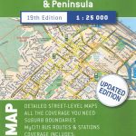
 Cape Town – Cape Peninsula NP & Winelands
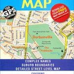 Cape Town – Northern Suburbs
 Cape Town – Western Cape Towns Map Studio Street Atlas
 Cape Town F&B
 Cape Town Map Studio Pocket Map
 Cape Town & Surrounding Attractions Map Studio
 Cape Town Marco Polo City Map
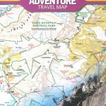 Cape Town & Peninsula NGS Adventure Map 3200
 The ultimate guide to food, wine & adventure in Cape town and the Western Cape
 Cape Town Walking Map
 Cape Town Flexi Map
 Cape Town & Peninsula Map Studio
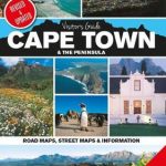 Cape Town & the Peninsula Map Studio Visitors Guide
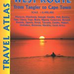 Africa West Route ITMB Travel Atlas – Tangier to Cape Town via Senegal
 111 Places in Cape Town That You Must Not Miss
 The Rough Guide to Cape Town, The Winelands and the Garden Route
 Cape Town & Garden Route ITMB
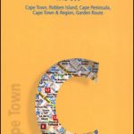
 Cape Town
 Time Out Cape Town City Guide
 Cape Town Borch
 DK Eyewitness Top 10 Cape Town and the Winelands
 Secret Cape Town
 Africa Overland – Cairo to Cape Town ITMB Travel Atlas
 The Last Train to Zona Verde – Overland From Cape Town to Angola
 East Cape: Whakatane, Opotiki, Gisbourne, Wairoa
 Lonely Planet Cape Town and the Garden Route City Guide
 Cape Point – Simon`s Town – Fish Hoek
 Berlitz Pocket Guide Cape Town
 Far North: Cape Reinga, Kaitaia, Kerikeri, Whangarei
 Cape Town Agreement of 2012, 2018 edition
 Cape Town Travel Guide
 Cape Town, Winelands and The Garden Route Marco Polo Guide
 Insight Guides Pocket Cape Town
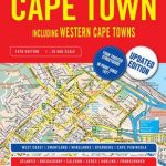
 Western Cape Map Studio
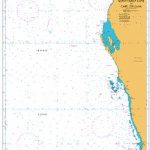 Admiralty Chart 4725 – North West Cape to Cape Leeuwin
 Norway North Cape – Hammerfest F&B
 Cape Peninsula