Disclosure : This site contains affiliate links to products. We may receive a commission for purchases made through these links.
Dartmouth & Slapton Walking Map 25
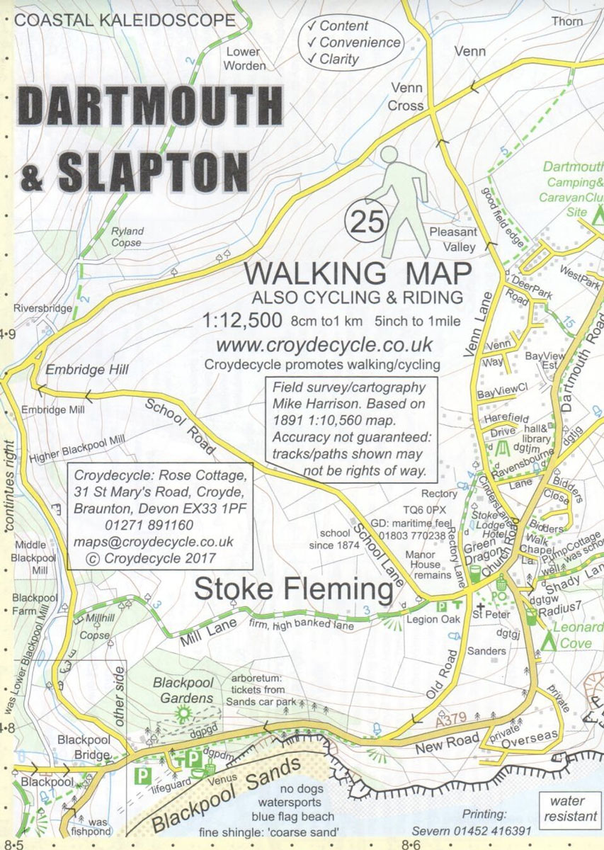
Dartmouth and Slapton area on a very detailed, GPS compatible hiking, cycling and horse riding map from Croydecycle at 1:12,500, printed on light, waterproof and tear-resistant synthetic paper. The map is part of publishers’ series covering the western coast of Somerset, both coastlines of Devon, and the adjoining areas of Dorset. Each handy size, 50 x 35cm, map is double-sided to cover a wider area. Topography is indicated by contours at 10m intervals with graphics and/or colouring for different type of terrain (sand, shingle, mud, high or low cliffs, etc) and vegetation (woodlands, gorse, scrub, etc). An overprint highlights footpaths, permissive paths and small permissive paths, Bridleways, cycle tracks and country roads which are byways for all traffic. On other roads markings indicate routes which are part of the National Cycle Network. Symbols show locations of campsites and caravan sites, riding stables, pubs/cafes/restaurants, shops and other local facilities, etc. For GPS users each map has in the margins National Grid coordinates. Most 1:12,500 maps include enlargements of main town(s), an inset providing geological information, and details of transport options.


