Disclosure : This site contains affiliate links to products. We may receive a commission for purchases made through these links.
Czechia
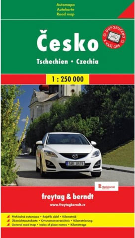
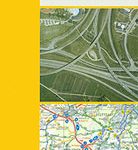
Indexed road map of Czech Republic at 1:250,000, with 1:100,000 scale enlargements of Prague, รstรญ nad Labem, Karlovy Vary, Ceskรฉ Budejovice, and Plzen. The main map shows the major road network and some minor roads, with road distances marked in kilometres; filling stations are shown. Railway lines and airports are clearly displayed.Topography is shown through subtle relief shading and spot heights; terrain variations are marked through simple use of colour. Points of interest such as UNESCO world heritage sites national parks, museums, castles are shown, with local facilities also marked. National and regional boundaries are prominently displayed; longitude and latitude lines are marked at intervals of 30’. The map is comprehensively indexed in a small booklet attached to the inside cover of the map.The 1:100,000 enlargements of Prague, รstรญ nad Labem, Karlovy Vary, Ceskรฉ Budejovice, and Plzen show the road networks, with minor and secondary roads clearly shown. Map legend includes English.

Related Products:
 Czech Republic F&B
 Czech Republic F&B Superatlas
 Czechia Michelin
 Czechia – Slovakia Michelin
 Czechia – Slovakia Michelin SUPERCEDED
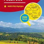
 Bohemia Marco Polo Map
 India South Borch
 Czechia Shocart 75K Cycling Atlas
 Perthshire: Highland Perthshire Cycling Map
 Czechia Reise Know-How
 Germany – Benelux – Austria – Czechia Michelin
 Ukraine South
 Czech Republic ITMB
 Czechia Shocart 50K Tourist Atlas
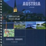 Austria F&B Roads & Cities Atlas
 Europe Political F&B
 Turkey – Middle East Road Map
 Turkey – Europe Road Map
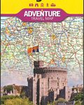 United Kingdom NGS Adventure Map 3325
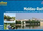 Vltava Cycle Route: ล umava National Park to Prague (480km) Bikeline Map/Guide
 Bloemfontein Pocket Tourist Map
 Czech – Slovak Republics F&B
 Port Elizabeth Pocket Tourist Map
 Alaska – Dempster and Dalton Highways ITMB Road Atlas
 Phoenix Borch
 Las Vegas ITMB
 Slovenia F&B
 China East ITMB
 Chisinau F&B
 Russia – C. I. S. F&B
 Greece Michelin
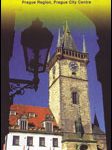
 Prague NGS City Destination Map
 Baden-Wรผrttemberg Official Road Map
 Aruba
Aruba
 Prague F&B
 Brazil ITMB
 Cape Town F&B
 Sierra Leone ITMB
 South Western Bohemia
 Athens F&B City Pocket Map