Disclosure : This site contains affiliate links to products. We may receive a commission for purchases made through these links.
Cuba West ITMB
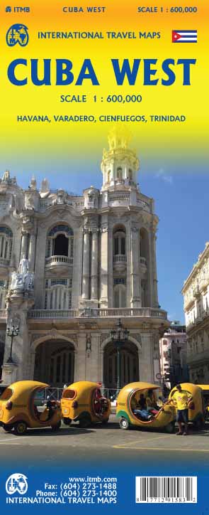
Western Cuba, with coverage extending from the island’s western tip to Camangรผey, on an indexed, double-sided map at 1:600,000 from ITMB, with an enlargement for the Greater Havana region and street plans of central Havana, Cienfuegos and Trinidad, plus the Varadero peninsula and resort.The map is double -sided with an overlap between the sides. Topography is indicated by altitude colouring with spot heights and highlighting for national parks and other protected areas. Also shown are coastal reefs. Road network includes selected local tracks, gives distances on main and some local routes, and shows locations of petrol stations. Railway lines and ferry connections are included and local airports are marked. A range of symbols indicate various facilities and places of interest, including campsites, UNESCO World Heritage sites, etc. The map has latitude at longitude lines at 30’ intervals. Each side has a separate index. An enlargement shows the Greater Havana region in greater detail at 1:150,000. Street plans, annotated with selected named hotels, important sights, etc, cover Havana, Cienfuegos and Trinidad, plus the Varadero peninsula and resort.


