Disclosure : This site contains affiliate links to products. We may receive a commission for purchases made through these links.
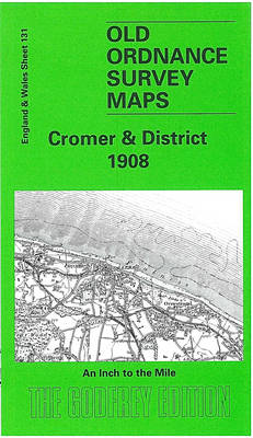
Cromer & District 1908 – 131
Related Products:
 Fakenham & District 1908 – 146
 Ammanford & District 1908 – 230
 Merthyr & District 1908 – 231
 Watton – Swaffham & District 1908 – 160
 Aylsham – Reepham & District 1908 – 147
 Montgomery and District 1908
 Great Yarmouth & District 1908 – 162
 Norwich, Hingham and District 1908
 Admiralty Chart SC5614_7 – Cromer to Wells-next-the-Sea
 Admiralty Chart 106 – Cromer to Smiths Knoll
 North East Norfolk – Cromer & Wroxham OS Landranger 133
 Admiralty Chart 105 – Cromer Knoll and the Outer Banks
 Admiralty Chart 1504 – Cromer to Orford Ness
 North East Norfolk – Cromer & Wroxham OS Landranger 133 ACTIVE
 Admiralty Chart 1408 – Harwich and Rotterdam to Cromer and Terschelling
 Norfolk Coast East – Cromer & North Walsham OS Explorer Map 252 (paper)
 Norfolk Coast East – Cromer & North Walsham OS Explorer Active Map 252 (waterproof)
 Alresford 1908 – 42.06
 Romsey 1908 – 56.04
 SW Montgomeryshire 1908 – 164
 Preili District – Aglona – Livani – Riebini – Varkava District Jana Seta Map
 Madona District – Cesvaine – Ergli – Lubana – Varaklani District Jana Seta Map
 Tukums District – Engure – Jaunpils – Kandava District Jana Seta Map
 Bauska District – Iecava – Rundale – Vecumnieki District Jana Seta Map
 Limbazi District – Aloja – Krimulda – Salacgriva District Jana Seta Map
 Kraslava District – Aglona – Dagda District Jana Seta Map
 Old Portsmouth & Gosport 1908 – 83.11b
 Eastleigh (South) 1908 – 57.12a
 The Dark Peak 1908-13 – 86
 The Black Mountains 1908 – 214
 North Breconshire 1908 – 196
 West Radnorshire 1908 – 179
 Eddystone & Salcombe 1908 – 354
 South Herefordshire 1908 – 215
 Smithy Bridge 1908 – 81.14
 Daugavpils District – Ilukste District Jana Seta Map
 Eastleigh (North) & Bishopstoke 1908 – 57.08a
 Rochdale (North) & Smallbridge 1908 – 81.13
 Dearne Valley & Barnsley 1908-13 – 87
 Monmouth – Wye & Forest of Dean 1908 – 233


