Disclosure : This site contains affiliate links to products. We may receive a commission for purchases made through these links.
Crete 200K Berndtson Map
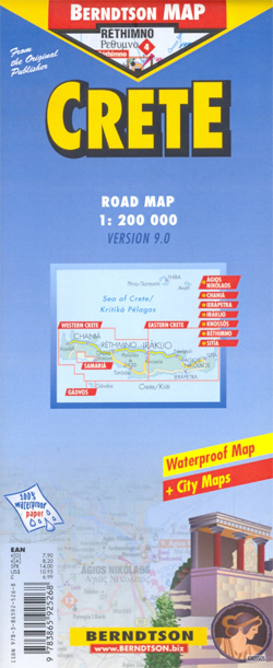
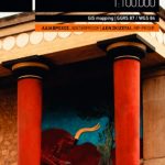
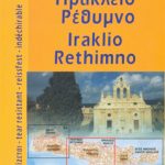
Crete on a light, waterproof and tear-resistant, double-sided map from Berndtson, highlighting the island’s 15 top sights, with an enlargement for the Gorge of Samaria, street plans of central Iraklion (Iraklio), Rethimnon (Rethimno), Chania, Agios Nikolaos, Ierapetra and Sitia, plus a plan of Knossos.The map shows the island’s network of main and secondary roads, indicating unsurfaced tracks and highlighting scenic routes. 15 of Crete’s top sights are prominently marked, with a separate panel providing brief descriptions. Symbols mark locations of other places of interest, including campsites, beaches, windsurfing and paragliding sites, caves, etc. Topography is shown by relief shading with names of main mountain ranges and numerous spot heights. Names of main towns and resorts are in both Greek and Latin alphabet, all other place names are in Latin alphabet only.With Iraklion as the dividing point of the island, each half is shown with appropriate street plans, all annotated with main sights and facilities. The western half includes an enlargement at 1:90,000 showing the Gorge of Samaria and the coastline across to Chora Sfakion. The eastern half has a detailed plan of the archaeological remain at Knossos and a map showing road access to the site.All the maps and plans are indexed, including separate lists of places of interest. Also included are graphs showing the region’s climate month by month, a transliteration and pronunciation table, plus general tourist information.The map is printed on light, waterproof and tear-resistant plastic paper. Map legend includes English. All descriptions and general information are in English only.


