Disclosure : This site contains affiliate links to products. We may receive a commission for purchases made through these links.
Coombe and Norbiton 1911
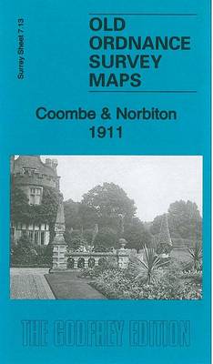
Coombe and Norbiton in 1911 in a fascinating series of reproductions of old Ordnance Survey plans in the Alan Godfrey Editions, ideal for anyone interested in the history of their neighbourhood or family. The map covers the area east of Kingston upon Thames, including much of Coombe and Norbiton. Coverage stretches from Wolverton Avenue and Norbiton station eastward to Coombe Cottage and Coombe Warren, and from Crescent Road southward to Woodside Road. Features include Coombe House, Coombe End, Ballard Coombe, Coombe Farm, Cornwall Lodge, Kingston Workhouse, Kingston Infirmary, Kingston Victoria Hospital, etc. On the reverse are extracts from a 1905 Kingston directory, including entries for Coombe Road, Coombe Warren, Crescent Road, Gloucester Road and Kingston Hill. About the Alan Godfrey Editions of the 25″ OS Series:Selected towns in Great Britain and Ireland are covered by maps showing the extent of urban development in the last decades of the 19th and early 20th century. The plans have been taken from the Ordnance Survey mapping and reprinted at about 15 inches to one mile (1:4,340). On the reverse most maps have historical notes and many also include extracts from contemporary directories. Most maps cover about one mile (1.6kms) north/south, one and a half miles (2.4kms) across; adjoining sheets can be combined to provide wider coverage.FOR MORE INFORMATION AND A COMPLETE LIST OF ALL AVAILABLE TITLES PLEASE CLICK ON THE SERIES LINK.

Related Products:
 Croydon East: Coombe Park & Addiscombe Road 1895 – 158
 Kingston upon Thames 1895 – 6.16
 Colwyn Bay South East 1911
Colwyn Bay South West 1911
Colwyn Bay South East 1911
Colwyn Bay South West 1911
 Mid Finchley 1911
Colwyn Bay North 1911
Mid Finchley 1911
Colwyn Bay North 1911
 Enfield (NW) 1911 – 7.02
Croydon Woodside 1911
Enfield (NW) 1911 – 7.02
Croydon Woodside 1911
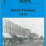 North Finchley 1911
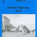 Enfield Highway 1911
East Finchley & Hampstead Garden Suburb 1894-1911 – 10.3
Enfield Highway 1911
East Finchley & Hampstead Garden Suburb 1894-1911 – 10.3
 Alexandra Park & South Friern 1911 – 6b
 Kirkby Stephen 1911 – 23.15
North Surbiton and South Kingston 1932
Kirkby Stephen 1911 – 23.15
North Surbiton and South Kingston 1932
 Leicester South West 1902-1911
Birmingham Central 1902-1911
Cathcart 1910
Leicester South West 1902-1911
Birmingham Central 1902-1911
Cathcart 1910
 Bexley Heath 1862
Newhaven & Granton 1904 – 1.15
Wanstead 1915 – 24.3
Central Croydon 1895 – 14.10
Bexley Heath 1862
Newhaven & Granton 1904 – 1.15
Wanstead 1915 – 24.3
Central Croydon 1895 – 14.10
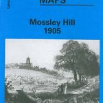 Mossley Hill 1905
Brampton 1924
Sherborne 1901
New Quay 1904
Sheffield Ecclesall Road and Sharrow 1903
Mossley Hill 1905
Brampton 1924
Sherborne 1901
New Quay 1904
Sheffield Ecclesall Road and Sharrow 1903
 Reeth and Grinton 1910
Sunderland South 1895
Hendon 1895
Thornton Heath and Norbury 1894
Rothesay 1886 – 204.06
Jarrow 1912
Reeth and Grinton 1910
Sunderland South 1895
Hendon 1895
Thornton Heath and Norbury 1894
Rothesay 1886 – 204.06
Jarrow 1912
 Leeds East 1906
Redruth 1906
Leeds East 1906
Redruth 1906
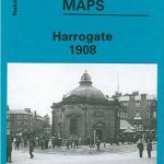 Harrogate 1908
 South Norwood 1895
Wallasey Village 1898
Dun Laoghaire 1908
Kelvinside 1893
South Norwood 1895
Wallasey Village 1898
Dun Laoghaire 1908
Kelvinside 1893
 Addington Hills & Croham Hurst 1895