Disclosure : This site contains affiliate links to products. We may receive a commission for purchases made through these links.
Conegliano Alto Trevigliano
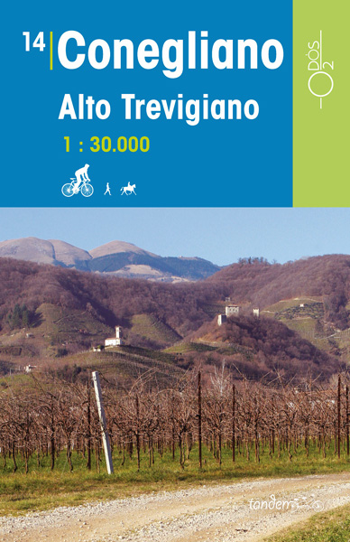
This series of Odos cycling maps are at a scale of 1:35,000 and have prominently marked out cycling routes that are differentiated into different types of cycle situation and terrain. Ideal for planning suitable routes and knowing which routes to avoid whether you are on a mountain bike or road bike. These maps are also suitable for walking and horseback riding.Routes marked include: cycle path, cycle route with low motor traffic, cycle route with moderate motor traffic, cycle route on unpaved country road, motorway, district road, secondary paved road, unsurfaced road and footpath. Campsites and other useful details are also marked.With elevation markings, UTM coordinate references, longitude and latitude lines at 3’ intervals.Accompanied by a colour booklet with around 40 pages with places of interest and suggested routes with symbols to indicate difficulty, distances there and back. Please note that the booklet is in Italian but map legend includes an English translation.

Related Products:
 Terre di Risorgive
 Udine – Palmanova
 Udine – Codroipo
 Udine – Cividale
 Udine – San Daniele
 Gemona – Tolmezzo
 Maniago – Spilimbergo
 Pordenone – Portogruaro
 Lignano – Bibione
 Grado – Trieste
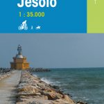 Caorle – Jesolo
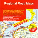
 Italy: Odos Cycling maps
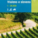 Collio friuliano e sloveno
 Pordenone tra Livenza e Cellina
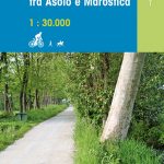 Bassano tra Asolo e Marostica
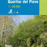 Asolo Montello – Quartier del Piave
 Austria: Freytag & Berndt Cycling Maps
 Trentino – Alto Adige
 Pohorje
 Julian Alps
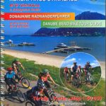 Danube Bend Cycle Atlas & Guide
 Czech Republic 100K Cycling Atlas
 Alto Garda – Ledro – Valle del Sacra Kompass 096
 El Turbรณn ‘“ Alto Valle de Isรกbena Editorial Alpina
 Alto Garda – Ledro – Monte Baldo North Tabacco 061
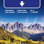 Trentino – Alto Adige – Bolzano – Trento – Venice K+F Regional Map 3
 Mozart Bike Trail F&B RK3
 Czechia Shocart 75K Cycling Atlas
 Alto Garda and Ledro – Riva del Garda – Malcesine – Torbole – Limone sul Garda Kompass 690
 London – Land`s End Cycle Route: Beautiful Cycling Across Southern England
 Lรดn Las Cymru Cycle Route North: Holyhead – Llanidloes
 Lรดn Cambria & Lรดn Teifi: Mid-Wales Cycle Routes
 Inn Bike Trail: Landeck – Passau Freytag & Berndt Map
 Bicycle Island – Isle of Wight Heritage House Cycle Map
 The Salmon Run – Dundee to Pitlochry Cycle Route
 Kamp – Thaya – March Bike Trail Freytag & Berndt Map
 The North West Trail Cycle Route
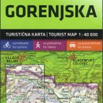 Gorenjska
 Tauern Bike Trail: Krimml – Passau Freytag & Berndt Map
 Pomurje