Disclosure : This site contains affiliate links to products. We may receive a commission for purchases made through these links.
Colwyn Bay South West 1911
Colwyn Bay South West in 1911 in a fascinating series of reproductions of old Ordnance Survey plans in the Alan Godfrey Editions, ideal for anyone interested in the history of their neighbourhood or family. the map covers the south-western corner of Colwyn Bay, around Woodland Park and York Road. Coverage then extends south-west into the countryside, including part of Llandrillo-yn-Rhos parish. Features include Pant-y-gloch Farm, Coed Isaf, Pwll-y-crochan Woods, Colwyn Bay Golf Course, Pwll-y-crochan Hotel, and many scattered houses. Coverage extends westward to Mochdre. On the reverse is a list of residents from an 1890 directory. About the Alan Godfrey Editions of the 25″ OS Series:Selected towns in Great Britain and Ireland are covered by maps showing the extent of urban development in the last decades of the 19th and early 20th century. The plans have been taken from the Ordnance Survey mapping and reprinted at about 15 inches to one mile (1:4,340). On the reverse most maps have historical notes and many also include extracts from contemporary directories. Most maps cover about one mile (1.6kms) north/south, one and a half miles (2.4kms) across; adjoining sheets can be combined to provide wider coverage.FOR MORE INFORMATION AND A COMPLETE LIST OF ALL AVAILABLE TITLES PLEASE CLICK ON THE SERIES LINK.

Related Products:
 Colwyn Bay South East 1911
Colwyn Bay North 1911
Colwyn Bay South East 1911
Colwyn Bay North 1911
 West Drayton South 1935
 Leicester South West 1902-1911
 Sale South-West 1908
 St Albans South-West 1897
 Alexandra Park & South Friern 1911 – 6b
 Sedgley South-East with Swan Village and West Coseley 1901
Worcester South-West 1902
Bangor West 1901
Sedgley South-East with Swan Village and West Coseley 1901
Worcester South-West 1902
Bangor West 1901
 Enfield (NW) 1911 – 7.02
 Enfield Highway 1911
Shotts (West) 1939 – 13.06
Enfield Highway 1911
Shotts (West) 1939 – 13.06
 Newquay West 1933
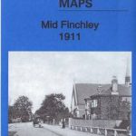 Mid Finchley 1911
 Richmond South and Easby 1927
Croydon Woodside 1911
Carlisle South-West 1924
South West Berkshire 1889
Richmond South and Easby 1927
Croydon Woodside 1911
Carlisle South-West 1924
South West Berkshire 1889
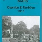 Coombe and Norbiton 1911
Maldon West 1920 – 55.16
Coombe and Norbiton 1911
Maldon West 1920 – 55.16
 Shrewsbury West 1900
Northfield South 1903
Barnsley South 1904
No Place, Beamish and West Pelton 1895
Halifax South West and Sowerby Bridge 1892
Crook West 1895
Shrewsbury West 1900
Northfield South 1903
Barnsley South 1904
No Place, Beamish and West Pelton 1895
Halifax South West and Sowerby Bridge 1892
Crook West 1895
 Hanworth and North West Hampton 1934
 Poynton West 1896
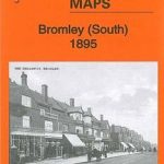 Bromley South 1895
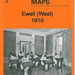 Ewell West 1910
Rotherham South 1901
Gunnislake South and Albaston 1905
Ipswich South-West 1902
Ewell West 1910
Rotherham South 1901
Gunnislake South and Albaston 1905
Ipswich South-West 1902
 South Norwood 1895
Sunderland South 1895
Billingham South 1939
Darlington West 1898
New Quay 1904
South Norwood 1895
Sunderland South 1895
Billingham South 1939
Darlington West 1898
New Quay 1904
 Kirkby Stephen 1911 – 23.15