Disclosure : This site contains affiliate links to products. We may receive a commission for purchases made through these links.
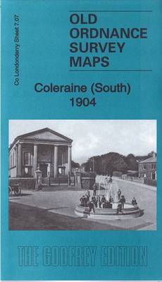
Coleraine (South) 1904 – 7.07
Related Products:
 Coleraine (North) 1904 – 7.03
 Trafford Park (South) 1904 – 103.16a
 Newton Abbot (South) 1904 – 109.16
 Uppermill (South) & Greenfield 1904 – 271.09
 South West Durham 1904 – 32
 Meltham (South) 1904: Yorkshire Sheet 260.13
 Barnsley South 1904
 Barnsley South East 1904
 Coleraine OSNI Discovery 04
 Admiralty Chart SC5612_19 – River Bann to Coleraine – Rathlin Harbour – Ballycastle
 Brixham 1904 – 128.02
 Wrexham 1904 – 121
 Swansea Bay 1904 – 247
 Stainmore 1904 – 31
 Rhossili Bay 1904 – 246
 Totnes 1904 – 121.05
 Davyhulme 1904 – 103.15b
 Rhyl & Colwyn Bay 1904 – 95
 Shrewsbury & The Wrekin 1904 – 152
 Lower Wensleydale 1904-13 – 51
 Vale of Glamorgan 1904 – 262
 Newton Abbot (North) 1904 – 109.12
 Dobcross & Uppermill (North) 1904 – 271.05
 Deeside & Central Flintshire 1904 – 108
 Oswestry – Llanfyllin & District 1904 – 137
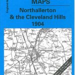 Northallerton & Cleveland Hills 1904 – 42
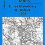 Dinas Mawddwy & District 1904 – 150
 Lake Vyrnwy & Bala 1904 – 136
 Cerrigydrudion – Corwen & District 1904 – 120
 Rhondda Valley & Pontypridd 1904-14 – 248
 Swaledale 1904: One Inch Sheet 41
 Dent Ingleton & The Three Peaks 1904 – 50
 Ripponden 1904: Yorkshire Sheet 245.07
 Vale of Clwyd & the Denbigh Uplands 1904 – 107
 Hunt`s Cross & Allerton Hall 1904 – 114.09
 Askrigg – Kirkby Stephen & Upper Swaledale 1904 – 40
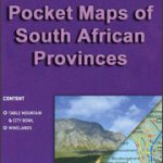 South Africa: Map Studio Pocket Maps of South African Provinces
 Admiralty Chart Folio 72 – New Zealand ‘“ South Island, South of Cook Strait incl. Macquaire and other off-lying islands
 Admiralty Chart Folio 96 – East Coast of South America – Punta Piedras to Puerto Gallegos incl. Falkland Islands, South Georgia
 Torquay 1904


