Disclosure : This site contains affiliate links to products. We may receive a commission for purchases made through these links.
Cockermouth 1898
Cockermouth in 1898 in a fascinating series of reproductions of old Ordnance Survey plans in the Alan Godfrey Editions, ideal for anyone interested in the history of their neighbourhood or family. The map is double-sided. The main map covers the town centre, extending northward to Bell Vue and Hamesbottom Wood, and from Derwent Lodge and The Fitz eastward to St Helen`s Tannery. Features include Hames Hall, Goatmill Bridge, Derwent Mills, River Derwent, Cockermouth Castle, Goat area, Fitz Mill, Agricultural Hall, railway with goods station, Workhouse, Main Street area, All Saints church, Drill Hall, Castle Brewery etc. On the reverse is part of adjacent sheet 54.08 extending coverage southward to include railway station, Atlas Works, cemetery, Tanneries, Double Mills, golf course, Rubbybanks Mill, The Moor and River Cocker.About the Alan Godfrey Editions of the 25″ OS Series:Selected towns in Great Britain and Ireland are covered by maps showing the extent of urban development in the last decades of the 19th and early 20th century. The plans have been taken from the Ordnance Survey mapping and reprinted at about 15 inches to one mile (1:4,340). On the reverse most maps have historical notes and many also include extracts from contemporary directories. Most maps cover about one mile (1.6kms) north/south, one and a half miles (2.4kms) across; adjoining sheets can be combined to provide wider coverage.FOR MORE INFORMATION AND A COMPLETE LIST OF ALL AVAILABLE TITLES PLEASE CLICK ON THE SERIES LINK.

Related Products:
 Keswick 1898
Duns & Greenlaw 1898 – 16.07
Keswick 1898
Duns & Greenlaw 1898 – 16.07
 Padiham 1909
Eyemouth 1898 – 6.13
Annan 1898
Blackburn 1929
Bidston 1898
Blackburn 1910
Boothstown and Astley Green 1904
Oban 1898 – 98.07
Padiham 1909
Eyemouth 1898 – 6.13
Annan 1898
Blackburn 1929
Bidston 1898
Blackburn 1910
Boothstown and Astley Green 1904
Oban 1898 – 98.07
 Blackburn 1892 (Coloured Edition)
 Farnham 1913
 Bollington 1907
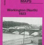 Workington North 1923
Bow, Bromley & West Ham 1867 – 53.1
Workington North 1923
Bow, Bromley & West Ham 1867 – 53.1
 Staincliffe and Batley Carr 1892
Tamworth 1900
Staincliffe and Batley Carr 1892
Tamworth 1900
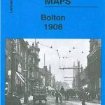 Bolton 1908 – 87.13b
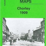 Chorley 1909
Alston 1898
Stourport 1901
Lostock Hall and Farington North 1909
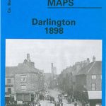
Darlington West 1898
Horbury 1905
Chorley 1909
Alston 1898
Stourport 1901
Lostock Hall and Farington North 1909
Darlington West 1898
Horbury 1905
 Darlington 1898 – 55.06a
Newbury 1898 – 43.01
Darlington 1898 – 55.06a
Newbury 1898 – 43.01
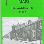 Barnoldswick 1907
Accrington 1909
Barnoldswick 1907
Accrington 1909
 Workington South 1923
Holmfirth 1904
Burnley 1910
Workington South 1923
Holmfirth 1904
Burnley 1910
 Keighley North 1913
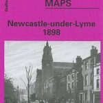 Newcastle-under-Lyme 1898 – 17.04b
Brecon 1903 – 28.13
Newcastle-under-Lyme 1898 – 17.04b
Brecon 1903 – 28.13
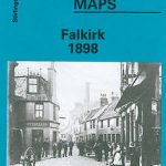 Falkirk 1898
Macclesfield, Congleton and District 1898
Alloa 1899
Falkirk 1898
Macclesfield, Congleton and District 1898
Alloa 1899
 Peebles 1906 – 13.06
 Darlington (South) 1898 – 55.10a
Wallasey Village 1898
Darlington (South) 1898 – 55.10a
Wallasey Village 1898