Disclosure : This site contains affiliate links to products. We may receive a commission for purchases made through these links.
Cochamรณ – Puelo
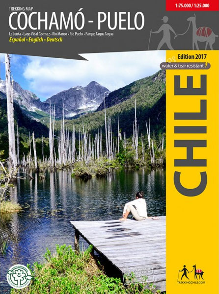
First travel map of the valleys Cochamรณ, Manso and Puelo, an area known for the climing area at La Junta, wild water rivers and the Tagua Tagua private nature park. General map at 1:75,000 scale, with altitude levels every 50m, hiking trails (distances in km and hours), lodgings, huts, camps etc. Detail map 1:25,000 of La Junta with climbing and hiking routes and tourist services.Detail map 1:25,000 of Parque Tagua Tagua with hiking trails (km and hours), huts and attractions.Landscape pictures and drawings of the local fauna. GPS compatible. Map developed with the support of the Institute for Cartography at the Dresden Technical University.


