Disclosure : This site contains affiliate links to products. We may receive a commission for purchases made through these links.
Clara Hamam Towel Lemon / Ice Blue
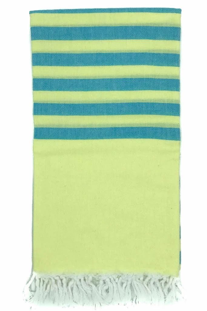
A vibrant hamam towel woven from lightweight quality cotton in a range of fabulous colour combinations. Deceptively large yet folds away to practically nothing – perfect as a travel towel. Makes a fantastic poolside accessory when the temperature is soaring.

Related Products:
 Clara Hamam Towel Plum / Lemon
 Clara Hamam Towel Ice Blue / Aqua
 Clara Hamam Towel – Cornflower / Daisy
 Clara Hamam Towel – Lilac / Cornflower
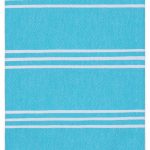
 Clara Hamam Towel – Navy / Turquoise
 Clara Hamam Towel – Forget-me-Not / Kiwi
 Clara Hamam Towel Spice / Aqua
 Clara Hamam Towel – Navy / Red
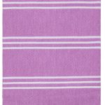
 Clara Hamam Towel – Jade / Amethyst
 Clara Hamam Towel – Marine / Melon
 Perim Hamam Towel – Royal Blue
 Perim Hamam Towel – Lemon
 Perim Hamam Towel – Grapefruit
 Perim Hamam Towel – Strawberry
 Perim Hamam Towel – Cornflower
 Perim Hamam Towel – Bubblegum
 Perim Hamam Towel – Caribbean
 Perim Hamam Towel – Charcoal
 Perim Hamam Towel – Toffee
 Perim Hamam Towel – Teal
 Perim Hamam Towel – Denim
 Perim Hamam Towel – Tangerine
 Perim Hamam Towel – Mango
 Perim Hamam Towel – Blueberry
 Perim Hamam Towel – Marine
 Perim Hamam Towel – Spring
 Perim Hamam Towel – Ocean
 Softfibre Advance Trek Towel Large (blue)
 Softfibre Advance Trek Towel Pocket (blue)
 Softfibre Advance Trek Towel Giant (blue)
 SoftFibre Advance Trek Towel – Giant (World in Flowers)
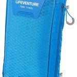
 Hydrofibre Trek Towel Large Grey
 Softfibre OS Map Towel – Ben Nevis
 Softfibre OS Map Towel – Snowdon
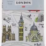 London Map Tea Towel
 Softfibre OS Map Towel – Scafell Pike
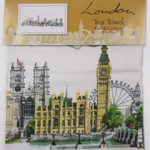 London Landmarks Tea Towel
 Softfibre OS Map Towel – Central London
 Red Bus Tea Towel
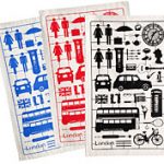 London Airfix Tea Towel – Set of Three