Disclosure : This site contains affiliate links to products. We may receive a commission for purchases made through these links.
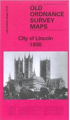
City of Lincoln 1930 – 70.07b

Related Products:
 Lincoln City Guide
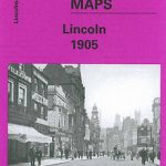 City of Lincoln 1905 – 70.07a
 Poems (1930)
 Cosham & Wymering 1930 – 75.12
 Lincoln & District 1898 – 114
 London In The Snow: 1930-1970
 The Danakil Diary: Journeys Through Abyssinia 1930-34
 The Photographs of Bedford Lemere & Co 1890-1930
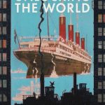
 The Mammoth Book of The World Cup: The Definitive Guide, 1930-2018
 Chanel`s Riviera: The Cote d`Azur in Peace and War, 1930-1944
 Lincoln A-Z Pocket Street Map
CHS Chart 7304 – Lincoln Sea
Lincoln A-Z Pocket Street Map
CHS Chart 7304 – Lincoln Sea
 Unlocking the World: Port Cities and Globalization in the Age of Steam, 1830-1930
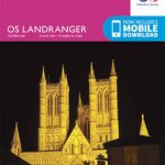 Lincoln & Newark-on-Trent OS Landranger Map 121 (paper)
CHS Chart 7072 – Kane Basin to Lincoln Sea
Lincoln & Newark-on-Trent OS Landranger Map 121 (paper)
CHS Chart 7072 – Kane Basin to Lincoln Sea
 Lincoln – Sleaford, Metheringham & Navenby OS Explorer Map 272 (paper)
 Lincoln & Newark-on-Trent OS Landranger Active Map 121 (waterproof)
 Lincoln in the Bardo – Winner of the 2017 Man Booker Prize
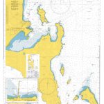 Admiralty Chart AUS134 – Port Lincoln and Approaches
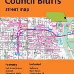 Omaha – Lincoln – Council Bluffs NE/IA Rand McNally
 Lincoln – Sleaford, Metheringham & Navenby OS Explorer Active Map 272 (waterproof)
 Franconia Notch – Lincoln – White Mountain National Forest NH 740
 Australia: Hema City to City Road Maps
 City of Light, City of Poison: Murder, Magic, and the First Police Chief of Paris
 No Access New York City: The City`s Hidden Treasures, Haunts, and Forgotten Places
 CITIx60 City Guides – Taipei: 60 local creatives bring you the best of the city
 CITIx60 City Guides – Melbourne: 60 local creatives bring you the best of the city
 CITIx60 City Guides – Amsterdam: 60 local creatives bring you the best of the city
 CITIx60 City Guides – Stockholm: 60 local creatives bring you the best of the city
 The King`s City: London Under Charles II: A City That Transformed a Nation – And Created Modern Britain
 New York City – Brooklyn – Long Island City Red Maps
 New York City – Manhattan Michelin City Plan and Index
 Where Can I Go? Big City Explorer: Amazing World City Maps and Facts
 Salt Lake City – Park City and the Wasatch Trail Map
 City Shapers London: The Creative People Shaping the City
VELO City: Bicycle Culture and City Life
City Shapers London: The Creative People Shaping the City
VELO City: Bicycle Culture and City Life
 Medical London: City of Diseases, City of Cures
 Magnetic City: A Walker`s Companion to New York City
 Baghdad: City of Peace, City of Blood
 Montreal & Quebec City Pocket Precincts: A Pocket Guide to the City`s Best Cultural Hangouts, Shops, Bars and Eateries