Disclosure : This site contains affiliate links to products. We may receive a commission for purchases made through these links.
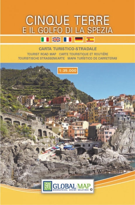
Cinque Terre & Golfo di La Spezia Global Map Tourist Map

Related Products:
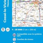
 Cinque Terre – Golfo della Spezia Geo4Map 21
 Cinque Terre – Golfo del Tigullio: La Spezia – Sestri Levante – Rapallo – Genoa 50K IGC Map No. 23
 La Spezia Province: Golfo della Spezia – Val di Marga 25K Ed. Multigraphic Map No. SP2
 Cinque Terre TCI Map & Guide
 Cinque Terre – Portofino F&B WKI02
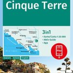 Cinque Terre Kompass 2450
 Alta Via delle Cinque Terre Map-Guide
 Cinque Terre – Riviera Spezzina Edizioni Multigraphic 506
 Bassa Lunigiana – Monte Marcello – Golfo della Spezia Edizioni Multigraphic 508
 Lonely Planet Pocket Genoa & Cinque Terre
 Rick Steves Pocket Italy`s Cinque Terre (Second Edition)
 Cinque Terre and the Riviera di Levante Sunflower Landscape Guide
 Italy: Edizioni Multigraphic Maps for Alta Via dei Monti Liguri and Cinque Terre
 Walking in Italy`s Cinque Terre: Monterosso al Mare, Vernazza, Corniglia, Manarola and Riomaggiore
 Gargano Global Map Tourist Map
 Corsica Global Map Tourist Map
 Elba Global Map Tourist Map
 Capri Global Map Tourist Map
 Costa Smeralda Global Map Tourist Map
Maremma – Grossetana Global Map Tourist Map
Costa Smeralda Global Map Tourist Map
Maremma – Grossetana Global Map Tourist Map
 Lago di Bolsena Global Map Tourist Map
Lake Garda Global Map Tourist Map
Lago di Bolsena Global Map Tourist Map
Lake Garda Global Map Tourist Map
 Tuscia – Viterbo Province Global Map Tourist Map
 Aeolian (Lipari) Islands Global Map Tourist Map
 Monti Iblei – South-Eastern Sicily Global Map Tourist Map
 Sorrento Peninsula – Amalfi Coast – Capri Global Map Tourist Map
 Costa degli Dei – Tropea – Vibo Valentia Global Map Tourist Map
 Etruscan Coast – Pisa – Livorno – Piombino Global Map Tourist Map
 Versilia – Massa – Carrara – Alpi Apuane Global Map Tourist Map
 Lake Bracciano – Monti della Tolfa – Civitavecchia Global Map Tourist Map
 Riviera di Levante – Portofino – Golfo di Tigullio – Golfo Paradiso Edizioni Multigraphic 6
 Colli Euganei Global Map Tourist Map
 Admiralty Chart 4258 – Golfo de Penas to Golfo Trinidad
 Admiralty Chart 908 – Golfo di Napoli and Golfo di Salerno
 La Spezia
 Liguria – San Remo – Genoa – La Spezia K+F Regional Map 6
 El Cinque Llac Map and Guide Editorial Alpina
 Terre di Risorgive
 Belle-Isle-en-Terre – Guerlesquin IGN 0716SB
 SHOM Chart 7535 – Port de La Spezia