Disclosure : This site contains affiliate links to products. We may receive a commission for purchases made through these links.
Chuuk (Truk) Lagoon Dive & Wreck Map – Operation Hailstone Historical Map
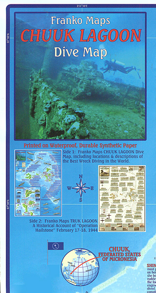
Chuuk Lagoon in the Federated States of Micronesia on a waterproof and tear-resistant map from the diving specialists Franko Maps, with on the reverse a map showing the area with drawings and details of Japanese ships and aircraft deployed during the Operation Hailstone on 17/18th February 1944.On one side are two maps of the Chuuk Islands for visitors. One panel covers a wider area within the reefs surrounding the lagoon, plus the Neoch Atoll, indicating numerous diving sites for examining shipwrecks. Several sites are accompanied by a brief description of the wreck and some are illustrated with drawings of the sunk ship. The second panel presents the lagoon itself in greater detail, with more wreck sites and notes on tourist facilities.On the reverse is a historical map with drawings of Japanese ships and aircraft involved in the WWII Operation Hailstone on 17/18th February 1944. Each ship is shown as a profile and plus top deck, accompanied by a note about its size, tonnage and circumstances when sunk.

Related Products:
 Dive Palau: The Shipwrecks
 Energy Efficient Operation of Ships, 2014 Edition – IMO Model Course
 Exploring the Britannic: The life, last voyage and wreck of Titanic`s tragic twin
 The Wreck of the Mary Deare
 Wreck This Journal Everywhere
 Wreck This Journal: Now in Colour
 Pearl Harbor Then and Now Historical Map
 Reeds Sea Transport: Operation and Economics
 SEA WRECK STRANGER
 The Wreck of the Zanzibar
 Florida Keys Adventure & Dive Map-Guide
Curaรงao Dive Map/Guide
Florida Keys Adventure & Dive Map-Guide
Curaรงao Dive Map/Guide
 Palau Franko`s Adventure & Dive Map-Guide
 US Virgin Islands Adventure and Dive Map/Guide
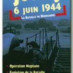 D-Day: The Battle of Normandy, 6th June 1944 Orep Editions Historical Map
 Normandy D-Day – 6 June 1944 IGN Map
 Wreck This Journal: To Create is to Destroy
 NGA Chart 81411 – Oroluk Lagoon Caroline Islands
 Energy Efficient Operation of Ships, 2014 Edition – IMO Model Course – E-Book
 Titanic Reference NGS Wall Map PAPER
 CHS Chart 4638 – Wreck Island to Cinq Cerf Bay
 Wreck This Picture Book
 Cape Horn to Cabo Penas Historical Map
 Ship Spotter`s Guide
Cozumel “Island of Peace” Franko`s Dive & Guide Map
Ship Spotter`s Guide
Cozumel “Island of Peace” Franko`s Dive & Guide Map
 Szczecin Lagoon – Usedom Circular Cycling Routes Atlas
Belize Dive Map
Szczecin Lagoon – Usedom Circular Cycling Routes Atlas
Belize Dive Map
 Cayman Islands Guide & Dive Map
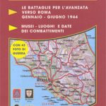 Anzio Landings: Operation Shingle & the Battle for Rome Ed. Multigraphic Map
 Operation Chaos: The Vietnam Deserters Who Fought the CIA, the Brainwashers, and Themselves
 Major and Mrs Holt`s Battlefield Guide to Operation Market Garden
 Operation Massacre
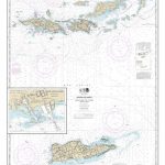 NOAA Chart 25641 – Virgin Islands’”Virgin Gorda to St. Thomas and St. Croix – Krause Lagoon Channel
 Operation Eiffel Tower
 Top dive sites of the world
 Operation Alphabet
 A Square Rig Handbook: Operation Safety Training Equipment
 See Inside Ships
 Agents of the Wild: Operation Honeyhunt