Disclosure : This site contains affiliate links to products. We may receive a commission for purchases made through these links.
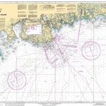
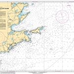
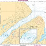
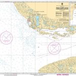
CHS Chart 4925 – Harbours on the North Shore of Prince Edward Island

Savage Harbour 1:15,000Covehead Bay 1:15,000St. Peters Bay 1:25,000Tracadie Bay 1:25,000Entrance to St. Peters Bay 1:12,000The official Canadian charts provide an excellent range of scales for the whole length of Canada`s coastline as well as the Grat Lakes and comply with Safety of Life at Sea (SOLAS) regulations.PLEASE NOTE: Canadian Hydrographic Service charts are ordered on demand, please allow 1-2 weeks for the order to arrive at Stanfords.


