Disclosure : This site contains affiliate links to products. We may receive a commission for purchases made through these links.
CHS Chart 4235 – Barren Island To Taylors Head
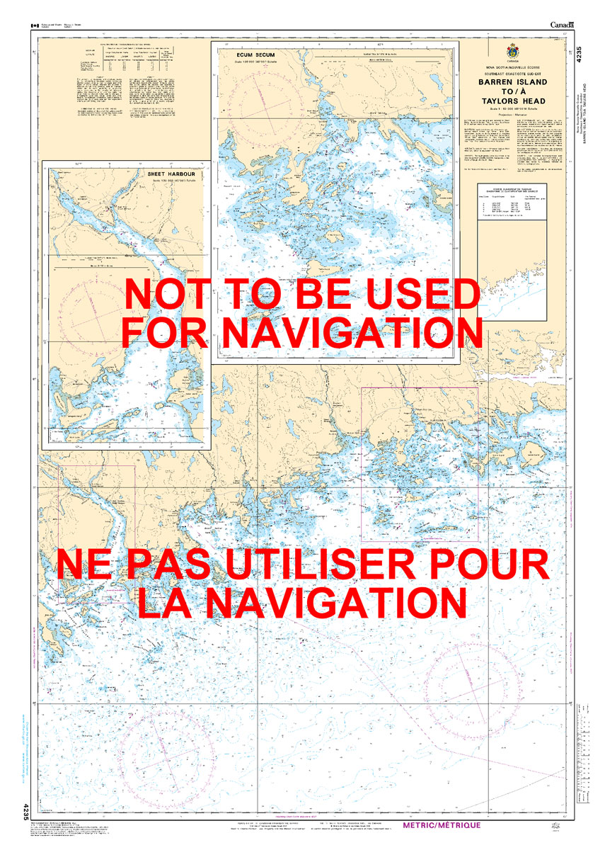
The official Canadian charts provide an excellent range of scales for the whole length of Canada`s coastline as well as the Grat Lakes and comply with Safety of Life at Sea (SOLAS) regulations.PLEASE NOTE: Canadian Hydrographic Service charts are ordered on demand, please allow 1-2 weeks for the order to arrive at Stanfords.
Related Products:
 CHS Chart 4236 – Taylors Head To Shut-In Island
 CHS Chart 4234 – Country Island To Barren Island
 CHS Chart 4585 – Green Head to Little Bay Island
 CHS Chart 4385 – Chebucto Head to Betty Island
 CHS Chart 6356 – Hardisty Island to North Head
 CHS Chart 4702 – Corbett Island to Ship Harbour Head
 CHS Chart 4661 – Bear Head to Cow Head
 CHS Chart 5058 – North Head to Murphy Head
 CHS Chart 4843 – Head of St Mary`s Bay
 CHS Chart 4839 – Head of Placentia Bay
 CHS Chart 4827 – Hare Bay to Fortune Head
 CHS Chart 4663 – Cow Head to Pointe Riche
 CHS Chart 7065 – Mill Island to Winter Island
 CHS Chart 7951 – Bathurst Island to Borden Island
 CHS Chart 5707 – Belanger Island to Long Island
 CHS Chart 5621 – Rockhouse Island to Centre Island
 CHS Chart 4724 – Ticoralak Island to Carrington Island
 CHS Chart 4864 – Black Island to Little Denier Island
 CHS Chart 4863 – Bacalhao Island to Black Island
 CHS Chart 4320 – Egg Island to West Ironbound Island
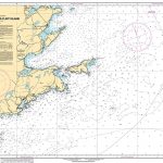 CHS Chart 4375 – Guyon Island to Flint Island
 CHS Chart 5140 – South Green Island to Ticoralak Island
 CHS Chart 3442 – North Pender Island to Thetis Island
 CHS Chart 5027 – Murphy Head to Button Islands
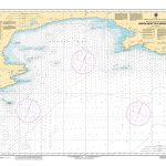 CHS Chart 6357 – North Head to Moraine Point
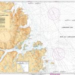 CHS Chart 5057 – Hare Islands to North Head
 CHS Chart 6416 – Saline Island to Police Island Kilometre 730-810
 CHS Chart 4114 – Campobello Island
 CHS Chart 4098 – Sable Island
 CHS Chart 5054 – South Auliatsivik Island to Fenstone Tickle Island
 CHS Chart 7126 – Culbertson Island to Frobisher`s Farthest
 CHS Chart 5505 – Belanger Island to Cotter Island
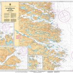 CHS Chart 4701 – Ship Harbour Head to Camp Islands
 CHS Chart 5620 – Entrance to Chesterfield Inlet (Fairway Island to Ellis Island)
 CHS Chart 8015 – Funk Island and Approaches
 CHS Chart 5399 – Egg Island to Eskimo Point
 CHS Chart 7184 – Broughton Island and Approaches
 CHS Chart 7180 – Padloping Island and Approaches
 CHS Chart 4374 – Red Point to Guyon Island
 CHS Chart 3478 – Plans in the Saltspring Island


