Disclosure : This site contains affiliate links to products. We may receive a commission for purchases made through these links.
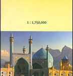
China South Nelles
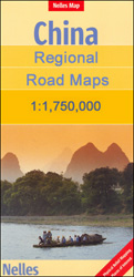
South-eastern China at 1:1,750,000 from Nelles in a convenient format for use when travelling, with street plans of central Shanghai and Hong Kong, plus an enlargement of the Yangshuo area south of Guilin. The map is double-sided with an overlap between the sides; coverage extends southwards from Shanghai and Wuhan, and inland to Kunming. The Hainan Island is shown on an inset at the same scale as the main map. All place names are in the Latin alphabet only with, where useful, their old historical names (Shantou/Swatow/Tuodao, Xiamen/Amoy etc).Maps in the Nelles series for China present road and rail networks on a base with topography indicated by relief shading, with names of mountain ranges and peaks plus additional spot heights. Local airports are marked and the maps also show internal administrative boundaries with names of the provinces. Places of interest, including historical sights, beaches, national parks or protected area, etc. are highlighted both on the main map and on the accompanying street plans or enlargements. Each title has latitude and longitude lines at 1ยฐ intervals. The maps are not indexed. Map legend includes English.To see the full list of titles in this series please click on the series link.

Related Products:
 China North East Nelles Map
 China Periplus Travel Map
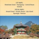 Korea North and South Nelles
 China South Gizi Map
 India South Nelles
 China South Wall Map
 South America – The Andes Nelles
 Pakistan Nelles
 Java – Jakarta Nelles
 Brazil Central and South Nelles
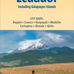 Colombia – Ecuador Nelles
 Vietnam – Laos – Cambodia Nelles
 Central Asia Nelles
 China South ITMB
 Cuba Nelles
 Taiwan Nelles
 China South Central
 Afghanistan Nelles Map
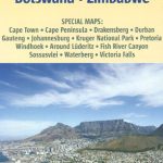 South Africa – Namibia – Botswana – Zimbabwe Nelles
Kenya – Serengeti Nelles
South Africa – Namibia – Botswana – Zimbabwe Nelles
Kenya – Serengeti Nelles
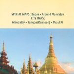 Myanmar / Burma Nelles
 Borneo – Malaysia East – Brunei – Kalimantan Nelles
 Iran Nelles
 Guangzhou & China South ITMB
 The People`s Republic of China Administrative Map
 India East Nelles
 India Northeast – Bangladesh Nelles
 Bolivia – Paraguay Nelles
 Peru – Ecuador Nelles
 Central America Nelles
 Cambodia – Angkor Nelles
 India North Nelles
 India Nelles
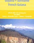 Venezuela, Guyana, Suriname & French Guiana Nelles Map
 China – Mongolia – Taiwan F&B
 New Zealand Nelles
 Tunisia Nelles Map
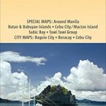 Philippines – Manila Nelles