Disclosure : This site contains affiliate links to products. We may receive a commission for purchases made through these links.
China North East Nelles Map
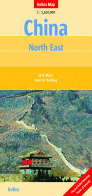
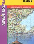
North-eastern China at 1:1,750,000 from Nelles in a convenient format for use when travelling, with a street plan of central Beijing. The map is double-sided, with a very generous overlap between the sides, and provides coverage from just south of the capital to well beyond Harbin and in the east Vladivostok. All place names are in the Latin alphabet only with, where useful, their historical pre-Pinyin names (Peking, Tientsin, etc).Maps in the Nelles series for China present road and rail networks on a base with topography indicated by relief shading, with names of mountain ranges and peaks plus additional spot heights. Local airports are marked and the maps also show internal administrative boundaries with names of the provinces. Places of interest, including historical sights, beaches, national parks or protected area, etc. are highlighted both on the main map and on the accompanying street plans or enlargements. Each title has latitude and longitude lines at 1ยฐ intervals. The maps are not indexed. Map legend includes English.To see the full list of titles in this series please click on the series link.


