Disclosure : This site contains affiliate links to products. We may receive a commission for purchases made through these links.
China – Mongolia – Taiwan F&B

China on a double-sided map at 1:3,000,000 from Freytag & Berndt, with a separate booklet attached to the map cover containing an index and street plans of central Beijing, Lhasa, Shanghai, Hong Kong, Taipei, Ulaanbaatar and Kathmandu. Coverage includes the whole of Mongolia, the Koreas, Nepal and Bhutan, also northern Burma with Mandalay, Indian Himalaya with Delhi, etc. Place names are in the Latin alphabet (except for larger towns within Russia, also shown in the Cyrillic).Topography of the whole region is well presented, particularly in Tibet and Xingjian, by relief shading and spot heights, with plenty of names of mountain ranges, peaks, deserts, etc. Road network gives distances on main routes. Railway lines are included and local airports are marked; the map also shows shipping routes. Also shown are internal administrative boundaries and names of the provinces. A range of small icons highlight various places of interest. Latitude and longitude lines are drawn at 1ยบ intervals. The index, in a separate booklet attached to the map cover is arranged by country. Multilingual map legend includes English.

Related Products:
 Belarus F&B
 China Gizi Map Geographical Wall Map
 China – Mongolia
 Yemen F&B
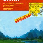 China Marco Polo Map
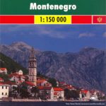 Montenegro F&B
 Morocco F&B
 Portugal F&B
 Mongolia ITMB
 Namibia F&B
 Middle East F&B
 Belgium F&B
 Denmark F&B
 Australia F&B
 Germany F&B
 Germany East F&B
 India F&B
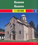 Kosovo F&B Top 10 Tips
 Black Forest – Lake Constance K+F Road Map
 China: GiziMap Regional Maps
 Central Asia F&B
 Germany 700K F&B
 China South Gizi Map
 China North-West Wall Map
 Ireland Marco Polo Map
 Germany West F&B
 Greece F&B
 Ireland Hallwag Road Map
 China South Wall Map
 Peru F&B
 Ukraine – Moldova F&B
 Czech Republic
 Calabria F&B Top 10 Tips
 Spain: Mairdumont 300K Regional Road Maps
 Taiwan & Taipei ITMB
 Moscow Jana Seta Street Plan
 Sardinia – Cagliari – Sassari K+F Regional Map 16
 Sicily – Palermo – Catania K+F Regional Map 15
 Tuscany – Florence F&B Top 10 Tips
 Hungary F&B